
Six ORNL scientists have been elected as fellows to the American Association for the Advancement of Science, or AAAS.
The combination of bioenergy with carbon capture and storage could cost-effectively sequester hundreds of millions of metric tons per year of carbon dioxide in the United States, making it a competitive solution for carbon management, according to a new analysis by ORNL scientists.
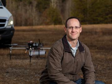
Horizon31, LLC has exclusively licensed a novel communication system that allows users to reliably operate unmanned vehicles such as drones from anywhere in the world using only an internet connection.
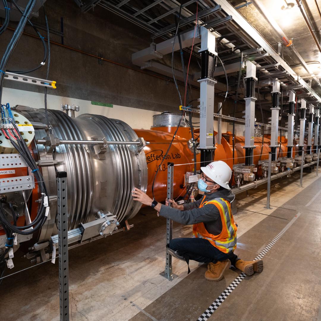
Juergen Rapp, a distinguished R&D staff scientist in ORNL’s Fusion Energy Division in the Nuclear Science and Engineering Directorate, has been named a fellow of the American Nuclear Society

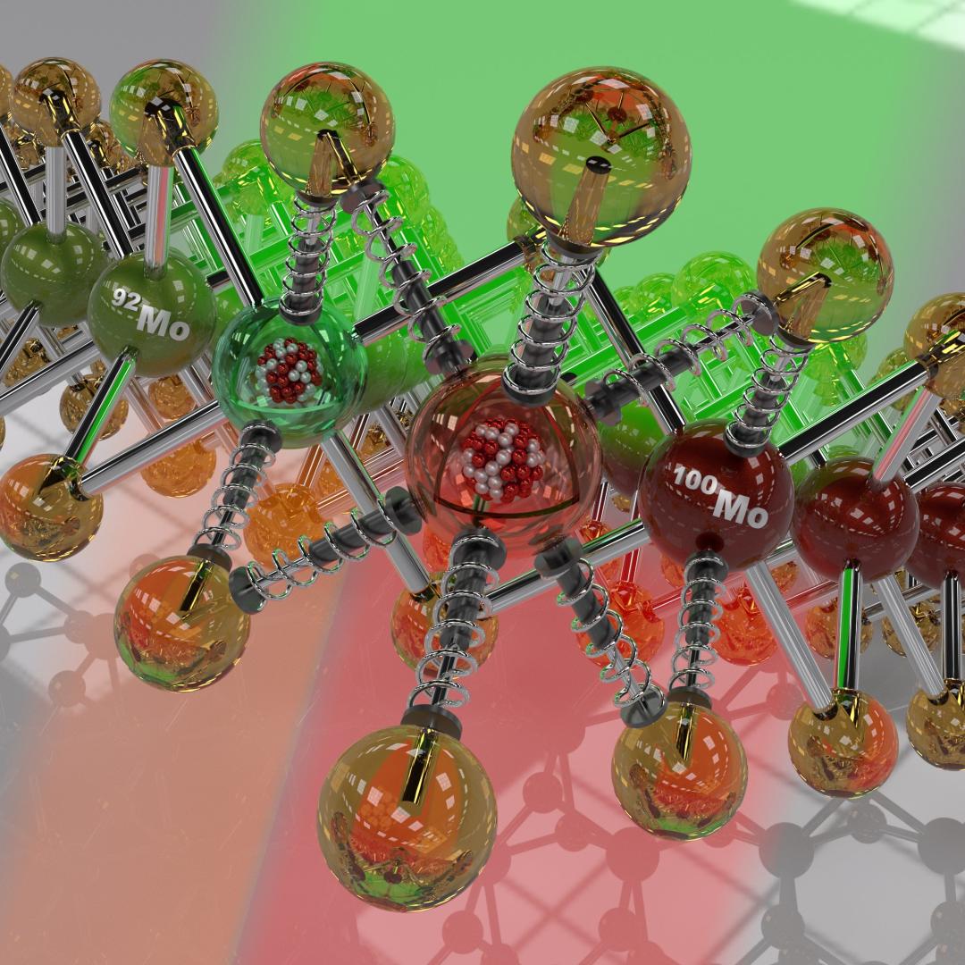
Oak Ridge National Laboratory researchers have discovered a better way to separate actinium-227, a rare isotope essential for an FDA-approved cancer treatment.

As a teenager, Kat Royston had a lot of questions. Then an advanced-placement class in physics convinced her all the answers were out there.
Oak Ridge National Laboratory researchers working on neutron imaging capabilities for nuclear materials have developed a process for seeing the inside of uranium particles – without cutting them open.

A novel approach developed by scientists at ORNL can scan massive datasets of large-scale satellite images to more accurately map infrastructure – such as buildings and roads – in hours versus days.

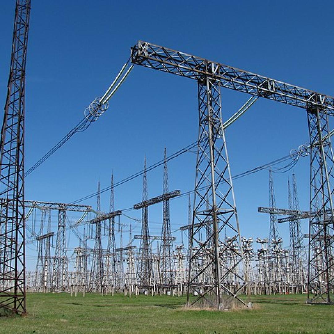
A typhoon strikes an island in the Pacific Ocean, downing power lines and cell towers. An earthquake hits a remote mountainous region, destroying structures and leaving no communication infrastructure behind.