
Polyphase wireless power transfer system achieves 270-kilowatt charge, s...

A team of researchers has developed a novel, machine learning–based technique to explore and identify relationships among medical concepts using electronic health record data across multiple healthcare providers.
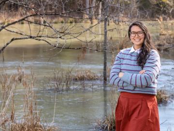
Surrounded by the mountains of landlocked Tennessee, Oak Ridge National Laboratory’s Teri O’Meara is focused on understanding the future of the vitally important ecosystems lining the nation’s coasts.
As rising global temperatures alter ecosystems worldwide, the need to accurately simulate complex environmental processes under evolving conditions is more urgent than ever.
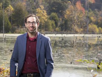
Cory Stuart of ORNL applies his expertise as a systems engineer to ensure the secure and timely transfer of millions of measurements of Earth’s atmosphere, fueling science around the world.
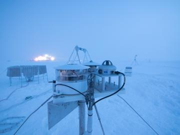
Researchers at Oak Ridge National Laboratory were part of an international team that collected a treasure trove of data measuring precipitation, air particles, cloud patterns and the exchange of energy between the atmosphere and the sea ice.

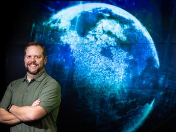
From materials science and earth system modeling to quantum information science and cybersecurity, experts in many fields run simulations and conduct experiments to collect the abundance of data necessary for scientific progress.

In the race to identify solutions to the COVID-19 pandemic, researchers at the Department of Energy’s Oak Ridge National Laboratory are joining the fight by applying expertise in computational science, advanced manufacturing, data science and neutron science.

A novel approach developed by scientists at ORNL can scan massive datasets of large-scale satellite images to more accurately map infrastructure – such as buildings and roads – in hours versus days.

Gleaning valuable data from social platforms such as Twitter—particularly to map out critical location information during emergencies— has become more effective and efficient thanks to Oak Ridge National Laboratory.
