
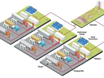
Researchers at Oak Ridge National Laboratory have designed architecture, software and control strategies for a futuristic EV truck stop that can draw megawatts of power and reduce carbon emissions.

Oak Ridge National Laboratory researchers determined that for every 5 miles per hour that drivers travel over a 50-mph speed limit, fuel economy decreases by 7% and equates to paying an extra 28 cents per gallon at current.

If air taxis become a viable mode of transportation, Oak Ridge National Laboratory researchers have estimated they could reduce fuel consumption significantly while alleviating traffic congestion.
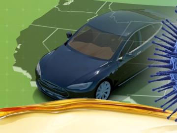
Oak Ridge National Laboratory researchers have developed a machine learning model that could help predict the impact pandemics such as COVID-19 have on fuel demand in the United States.
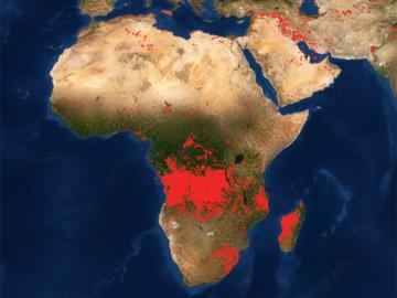
Researchers at Oak Ridge National Laboratory developed a method that uses machine learning to predict seasonal fire risk in Africa, where half of the world’s wildfire-related carbon emissions originate.
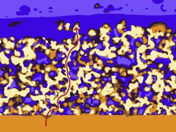
Oak Ridge National Laboratory researchers have developed a thin film, highly conductive solid-state electrolyte made of a polymer and ceramic-based composite for lithium metal batteries.
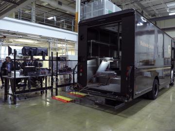
Researchers at Oak Ridge National Laboratory demonstrated a 20-kilowatt bi-directional wireless charging system on a UPS plug-in hybrid electric delivery truck, advancing the technology to a larger class of vehicles and enabling a new energy storage method for fleet owners and their facilities.

A novel approach developed by scientists at ORNL can scan massive datasets of large-scale satellite images to more accurately map infrastructure – such as buildings and roads – in hours versus days.