


If air taxis become a viable mode of transportation, Oak Ridge National Laboratory researchers have estimated they could reduce fuel consumption significantly while alleviating traffic congestion.
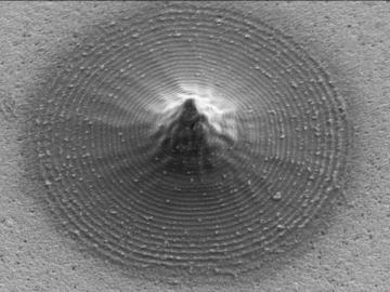
Scientists at Oak Ridge National Laboratory and the University of Tennessee designed and demonstrated a method to make carbon-based materials that can be used as electrodes compatible with a specific semiconductor circuitry.
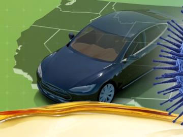
Oak Ridge National Laboratory researchers have developed a machine learning model that could help predict the impact pandemics such as COVID-19 have on fuel demand in the United States.
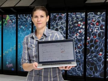
Ada Sedova’s journey to Oak Ridge National Laboratory has taken her on the path from pre-med studies in college to an accelerated graduate career in mathematics and biophysics and now to the intersection of computational science and biology
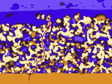
Oak Ridge National Laboratory researchers have developed a thin film, highly conductive solid-state electrolyte made of a polymer and ceramic-based composite for lithium metal batteries.
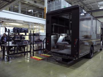
Researchers at Oak Ridge National Laboratory demonstrated a 20-kilowatt bi-directional wireless charging system on a UPS plug-in hybrid electric delivery truck, advancing the technology to a larger class of vehicles and enabling a new energy storage method for fleet owners and their facilities.

A novel approach developed by scientists at ORNL can scan massive datasets of large-scale satellite images to more accurately map infrastructure – such as buildings and roads – in hours versus days.

A typhoon strikes an island in the Pacific Ocean, downing power lines and cell towers. An earthquake hits a remote mountainous region, destroying structures and leaving no communication infrastructure behind.