A new computational approach by ORNL can more quickly scan large-scale satellite images, such as these of Puerto Rico, for more accurate mapping of complex infrastructure like buildings. Credit: Maxar Technologies and Dalton Lunga/Oak Ridge National Laboratory, U.S. Dept. of Energy

A novel approach developed by scientists at ORNL can scan massive datasets of large-scale satellite images to more accurately map infrastructure – such as buildings and roads – in hours versus days. 

This simulation of a fusion plasma calculation result shows the interaction of two counter-streaming beams of super-heated gas. Credit: David L. Green/Oak Ridge National Laboratory, U.S. Dept. of Energy

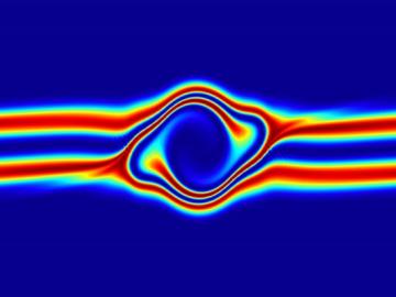
The prospect of simulating a fusion plasma is a step closer to reality thanks to a new computational tool developed by scientists in fusion physics, computer science and mathematics at ORNL.

SmartTruck, a small business in Greenville, SC, recently completed its first detailed unsteady analysis using modeling and simulation at the OLCF and became the first company to request certification from the EPA through CFD. Image Credit: SmartTruck

Long-haul tractor trailers, often referred to as “18-wheelers,” transport everything from household goods to supermarket foodstuffs across the United States every year. According to the Bureau of Transportation Statistics, these trucks moved more than 10 billion tons of goods—70.6 ...