


Craig Blue, Defense Manufacturing Program Director at the Department of Energy’s Oak Ridge National Laboratory, was recently elected to a two-year term on the Institute for Advanced Composites Manufacturing Innovation Consortium Council, a body of professionals from academia, state governments, and national laboratories that provides strategic direction and oversight to IACMI.

Laboratory Director Thomas Zacharia presented five Director’s Awards during Saturday night's annual Awards Night event hosted by UT-Battelle, which manages ORNL for the Department of Energy.
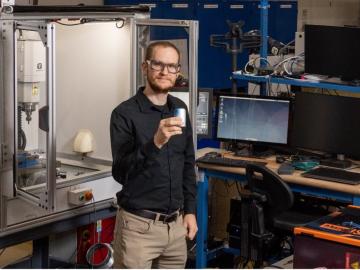
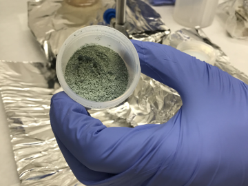
How an Alvin M. Weinberg Fellow is increasing security for critical infrastructure components
ORNL researchers used the nation’s fastest supercomputer to map the molecular vibrations of an important but little-studied uranium compound produced during the nuclear fuel cycle for results that could lead to a cleaner, safer world.

A novel approach developed by scientists at ORNL can scan massive datasets of large-scale satellite images to more accurately map infrastructure – such as buildings and roads – in hours versus days.