Data from different sources are joined on platforms created by ORNL researchers to offer better information for decision makers. Credit: ORNL/Nathan Armistead

When the COVID-19 pandemic stunned the world in 2020, researchers at ORNL wondered how they could extend their support and help

The ORNL researchers’ findings may enable better detection of uranium tetrafluoride hydrate, a little-studied byproduct of the nuclear fuel cycle, and better understanding of how environmental conditions influence the chemical behavior of fuel cycle materials. Credit: Kevin Pastoor/Colorado School of Mines

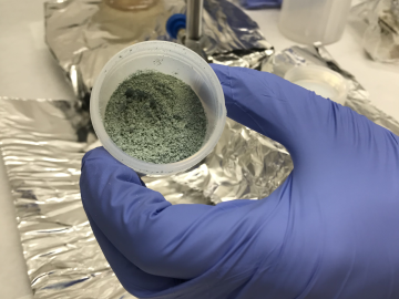
ORNL researchers used the nation’s fastest supercomputer to map the molecular vibrations of an important but little-studied uranium compound produced during the nuclear fuel cycle for results that could lead to a cleaner, safer world.

GIS – LandScan goes public

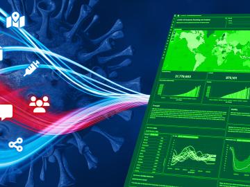
Oak Ridge National Laboratory’s high-resolution population distribution database, LandScan USA, became permanently available to researchers in time to aid the response to the novel coronavirus pandemic.

A new computational approach by ORNL can more quickly scan large-scale satellite images, such as these of Puerto Rico, for more accurate mapping of complex infrastructure like buildings. Credit: Maxar Technologies and Dalton Lunga/Oak Ridge National Laboratory, U.S. Dept. of Energy

A novel approach developed by scientists at ORNL can scan massive datasets of large-scale satellite images to more accurately map infrastructure – such as buildings and roads – in hours versus days.