Filter News
Area of Research
- (-) National Security (4)
- Advanced Manufacturing (6)
- Biology and Environment (22)
- Clean Energy (39)
- Computational Biology (1)
- Computational Engineering (1)
- Computer Science (1)
- Electricity and Smart Grid (1)
- Functional Materials for Energy (2)
- Fusion and Fission (1)
- Fusion Energy (2)
- Isotopes (4)
- Materials (75)
- Materials Characterization (2)
- Materials for Computing (11)
- Materials Under Extremes (1)
- Neutron Science (20)
- Supercomputing (58)
News Type
News Topics
- (-) Materials (2)
- (-) Summit (2)
- 3-D Printing/Advanced Manufacturing (2)
- Advanced Reactors (1)
- Artificial Intelligence (12)
- Big Data (6)
- Bioenergy (3)
- Biology (5)
- Biomedical (2)
- Biotechnology (1)
- Buildings (1)
- Chemical Sciences (2)
- Climate Change (5)
- Computer Science (19)
- Coronavirus (2)
- Cybersecurity (19)
- Decarbonization (2)
- Energy Storage (2)
- Environment (5)
- Exascale Computing (1)
- Frontier (1)
- Fusion (1)
- Grid (6)
- High-Performance Computing (4)
- Machine Learning (12)
- Materials Science (3)
- Nanotechnology (1)
- National Security (35)
- Neutron Science (4)
- Nuclear Energy (5)
- Partnerships (5)
- Physics (1)
- Quantum Science (1)
- Security (11)
- Simulation (1)
- Sustainable Energy (3)
- Transportation (2)
Media Contacts
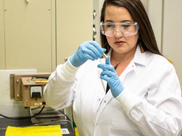
The word “exotic” may not spark thoughts of uranium, but Tyler Spano’s investigations of exotic phases of uranium are bringing new knowledge to the nuclear nonproliferation industry.
ORNL scientists will present new technologies available for licensing during the annual Technology Innovation Showcase. The event is 9 a.m. to 3 p.m. Thursday, June 16, at the Manufacturing Demonstration Facility at ORNL’s Hardin Valley campus.
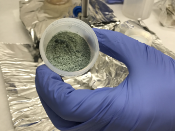
ORNL researchers used the nation’s fastest supercomputer to map the molecular vibrations of an important but little-studied uranium compound produced during the nuclear fuel cycle for results that could lead to a cleaner, safer world.
A novel approach developed by scientists at ORNL can scan massive datasets of large-scale satellite images to more accurately map infrastructure – such as buildings and roads – in hours versus days.