


Digital twins are exactly what they sound like: virtual models of physical reality that continuously update to reflect changes in the real world.
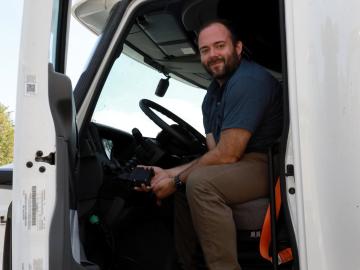
As vehicles gain technological capabilities, car manufacturers are using an increasing number of computers and sensors to improve situational awareness and enhance the driving experience.

The Department of Energy’s Oak Ridge National Laboratory announced the establishment of the Center for AI Security Research, or CAISER, to address threats already present as governments and industries around the world adopt artificial intelligence and take advantage of the benefits it promises in data processing, operational efficiencies and decision-making.

Using disinformation to create political instability and battlefield confusion dates back millennia. However, today’s disinformation actors use social media to amplify disinformation that users knowingly or, more often, unknowingly perpetuate. Such disinformation spreads quickly, threatening public health and safety. Indeed, the COVID-19 pandemic and recent global elections have given the world a front-row seat to this form of modern warfare.

It’s a simple premise: To truly improve the health, safety, and security of human beings, you must first understand where those individuals are.

A team of researchers has developed a novel, machine learning–based technique to explore and identify relationships among medical concepts using electronic health record data across multiple healthcare providers.
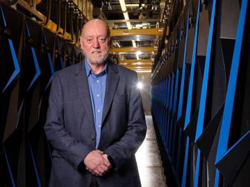
A force within the supercomputing community, Jack Dongarra developed software packages that became standard in the industry, allowing high-performance computers to become increasingly more powerful in recent decades.

Oak Ridge National Laboratory, University of Tennessee and University of Central Florida researchers released a new high-performance computing code designed to more efficiently examine

From materials science and earth system modeling to quantum information science and cybersecurity, experts in many fields run simulations and conduct experiments to collect the abundance of data necessary for scientific progress.

A novel approach developed by scientists at ORNL can scan massive datasets of large-scale satellite images to more accurately map infrastructure – such as buildings and roads – in hours versus days.