


The Department of Energy’s Oak Ridge National Laboratory announced the establishment of the Center for AI Security Research, or CAISER, to address threats already present as governments and industries around the world adopt artificial intelligence and take advantage of the benefits it promises in data processing, operational efficiencies and decision-making.
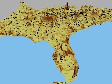
Like most scientists, Chengping Chai is not content with the surface of things: He wants to probe beyond to learn what’s really going on. But in his case, he is literally building a map of the world beneath, using seismic and acoustic data that reveal when and where the earth moves.

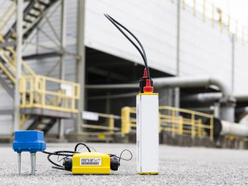
U2opia Technology, a consortium of technology and administrative executives with extensive experience in both industry and defense, has exclusively licensed two technologies from ORNL that offer a new method for advanced cybersecurity monitoring in real time.
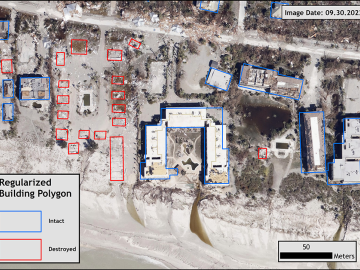
Over the past seven years, researchers in ORNL’s Geospatial Science and Human Security Division have mapped and characterized all structures within the United States and its territories to aid FEMA in its response to disasters. This dataset provides a consistent, nationwide accounting of the buildings where people reside and work.
ORNL scientists will present new technologies available for licensing during the annual Technology Innovation Showcase. The event is 9 a.m. to 3 p.m. Thursday, June 16, at the Manufacturing Demonstration Facility at ORNL’s Hardin Valley campus.
An analysis published in the Proceedings of the National Academy of Sciences and led by researchers from the U.S. Department of Energy’s Oak Ridge National Laboratory has received the 2021 Sustainability Science Award from the Ecological Society of America.

Six ORNL scientists have been elected as fellows to the American Association for the Advancement of Science, or AAAS.
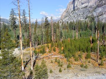
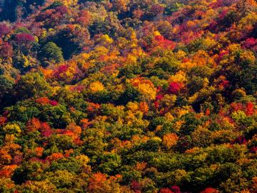
A multi-institutional research team found that changing environmental conditions are affecting forests around the globe, leading to increasing tree death and uncertainty about the ability of forests to recover.

A novel approach developed by scientists at ORNL can scan massive datasets of large-scale satellite images to more accurately map infrastructure – such as buildings and roads – in hours versus days.