


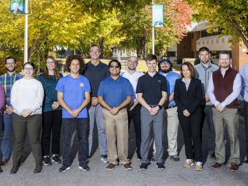
Nine student physicists and engineers from the #1-ranked Nuclear Engineering and Radiological Sciences Program at the University of Michigan, or UM, attended a scintillation detector workshop at Oak Ridge National Laboratory Oct. 10-13.
In human security research, Thomaz Carvalhaes says, there are typically two perspectives: technocentric and human centric. Rather than pick just one for his work, Carvalhaes uses data from both perspectives to understand how technology impacts the lives of people.

When Matt McCarthy saw an opportunity for a young career scientist to influence public policy, he eagerly raised his hand.
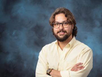
How an Alvin M. Weinberg Fellow is increasing security for critical infrastructure components

Six ORNL scientists have been elected as fellows to the American Association for the Advancement of Science, or AAAS.

A novel approach developed by scientists at ORNL can scan massive datasets of large-scale satellite images to more accurately map infrastructure – such as buildings and roads – in hours versus days.

To better determine the potential energy cost savings among connected homes, researchers at Oak Ridge National Laboratory developed a computer simulation to more accurately compare energy use on similar weather days.

Gleaning valuable data from social platforms such as Twitter—particularly to map out critical location information during emergencies— has become more effective and efficient thanks to Oak Ridge National Laboratory.