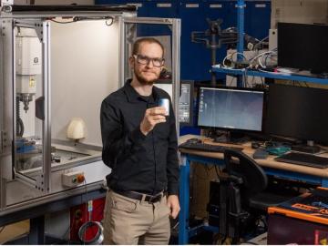
How an Alvin M. Weinberg Fellow is increasing security for critical infrastructure components

It’s a simple premise: To truly improve the health, safety, and security of human beings, you must first understand where those individuals are.
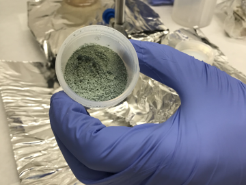
ORNL researchers used the nation’s fastest supercomputer to map the molecular vibrations of an important but little-studied uranium compound produced during the nuclear fuel cycle for results that could lead to a cleaner, safer world.
Using novel data sets and computing systems, researchers at ORNL are simulating how climate change affects the safety and security of the country.
Oak Ridge National Laboratory researchers have created a technology that more realistically emulates user activities to improve cyber testbeds and ultimately prevent cyberattacks.
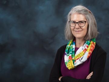
Deborah Frincke, one of the nation’s preeminent computer scientists and cybersecurity experts, serves as associate laboratory director of ORNL’s National Security Science Directorate. Credit: Carlos Jones/ORNL, U.S. Dept. of Energy
As Hurricane Dorian raged through the Bahamas, researchers at Oak Ridge National Laboratory worked around the clock to aid recovery efforts for one of the Caribbean’s worst storms ever.

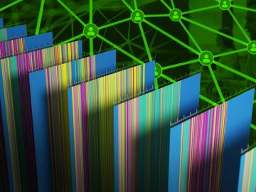
From materials science and earth system modeling to quantum information science and cybersecurity, experts in many fields run simulations and conduct experiments to collect the abundance of data necessary for scientific progress.

Research by an international team led by Duke University and the Department of Energy’s Oak Ridge National Laboratory scientists could speed the way to safer rechargeable batteries for consumer electronics such as laptops and cellphones.

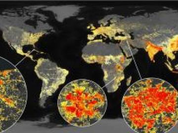
A novel approach developed by scientists at ORNL can scan massive datasets of large-scale satellite images to more accurately map infrastructure – such as buildings and roads – in hours versus days.