Filter News
Area of Research
- (-) National Security (4)
- (-) Nuclear Science and Technology (10)
- Biology and Environment (10)
- Clean Energy (16)
- Climate and Environmental Systems (2)
- Fusion and Fission (3)
- Fusion Energy (4)
- Isotopes (1)
- Materials (11)
- Materials for Computing (2)
- Neutron Science (10)
- Quantum information Science (1)
- Supercomputing (10)
News Topics
- (-) Biomedical (1)
- (-) Environment (1)
- (-) Fusion (5)
- (-) Nanotechnology (1)
- (-) Neutron Science (3)
- (-) Security (2)
- (-) Transformational Challenge Reactor (2)
- 3-D Printing/Advanced Manufacturing (2)
- Advanced Reactors (5)
- Artificial Intelligence (1)
- Big Data (2)
- Computer Science (4)
- Coronavirus (2)
- Cybersecurity (1)
- Energy Storage (1)
- Grid (1)
- Isotopes (2)
- Machine Learning (1)
- Materials Science (3)
- Molten Salt (1)
- Nuclear Energy (13)
- Physics (1)
- Space Exploration (1)
- Summit (1)
- Sustainable Energy (1)
Media Contacts
![Nuclear — Seeing inside particles](/sites/default/files/styles/list_page_thumbnail/public/2020-04/Kernels-nuclear%20materials-2_0.jpg?h=ae51ec69&itok=_AWiopZz)
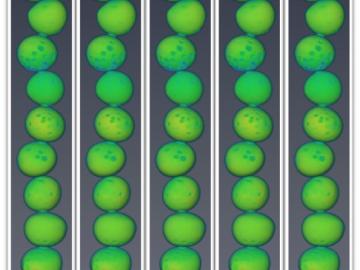
Oak Ridge National Laboratory researchers working on neutron imaging capabilities for nuclear materials have developed a process for seeing the inside of uranium particles – without cutting them open.
![Postdoctoral researcher Nischal Kafle positions a component for a portable plasma imaging diagnostic device at ORNL in February. The device, a project for ARPA-E, is built of off-the-shelf parts. Credit: Carlos Jones/ORNL](/sites/default/files/styles/list_page_thumbnail/public/2020-03/2020-P00808.jpg?h=8f9cfe54&itok=TGI-lQiS)
The techniques Theodore Biewer and his colleagues are using to measure whether plasma has the right conditions to create fusion have been around awhile.
![A new computational approach by ORNL can more quickly scan large-scale satellite images, such as these of Puerto Rico, for more accurate mapping of complex infrastructure like buildings. Credit: Maxar Technologies and Dalton Lunga/Oak Ridge National Laboratory, U.S. Dept. of Energy](/sites/default/files/styles/list_page_thumbnail/public/2020-02/Puerto_Rico_Resflow9.png?h=a0a1befd&itok=5n2fss_e)
A novel approach developed by scientists at ORNL can scan massive datasets of large-scale satellite images to more accurately map infrastructure – such as buildings and roads – in hours versus days.
![Dalton Lunga](/sites/default/files/styles/list_page_thumbnail/public/2020-01/Dalton_Lunga.jpg?h=4dcbbf6e&itok=0FQ-t5EF)
A typhoon strikes an island in the Pacific Ocean, downing power lines and cell towers. An earthquake hits a remote mountainous region, destroying structures and leaving no communication infrastructure behind.