ORNL researchers are establishing a digital thread of data, algorithms and workflows to produce a continuously updated model of earth systems.

Digital twins are exactly what they sound like: virtual models of physical reality that continuously update to reflect changes in the real world.


The CrossVis application includes a parallel coordinates plot (left), a tiled image view (right) and other interactive data views. Credit: Chad Steed/Oak Ridge National Laboratory, U.S. Dept. of Energy

From materials science and earth system modeling to quantum information science and cybersecurity, experts in many fields run simulations and conduct experiments to collect the abundance of data necessary for scientific progress.

A new computational approach by ORNL can more quickly scan large-scale satellite images, such as these of Puerto Rico, for more accurate mapping of complex infrastructure like buildings. Credit: Maxar Technologies and Dalton Lunga/Oak Ridge National Laboratory, U.S. Dept. of Energy

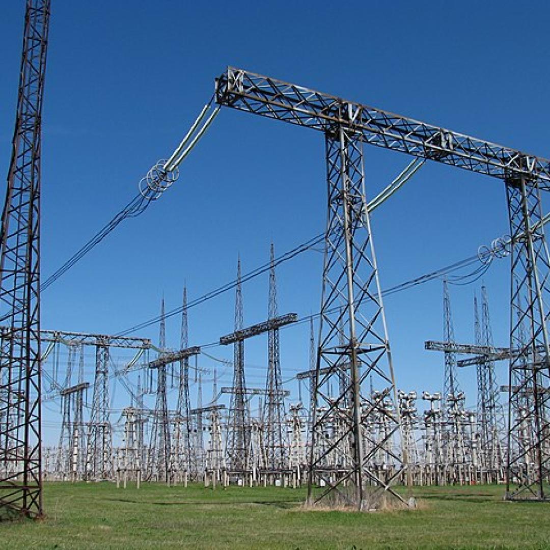
A novel approach developed by scientists at ORNL can scan massive datasets of large-scale satellite images to more accurately map infrastructure – such as buildings and roads – in hours versus days.