


Digital twins are exactly what they sound like: virtual models of physical reality that continuously update to reflect changes in the real world.
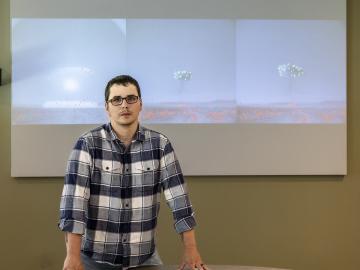
Cody Lloyd became a nuclear engineer because of his interest in the Manhattan Project, the United States’ mission to advance nuclear science to end World War II. As a research associate in nuclear forensics at ORNL, Lloyd now teaches computers to interpret data from imagery of nuclear weapons tests from the 1950s and early 1960s, bringing his childhood fascination into his career
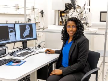
After completing a bachelor’s degree in biology, Toya Beiswenger didn’t intend to go into forensics. But almost two decades later, the nuclear security scientist at ORNL has found a way to appreciate the art of nuclear forensics.
When geoinformatics engineering researchers at the Department of Energy’s Oak Ridge National Laboratory wanted to better understand changes in land areas and points of interest around the world, they turned to the locals — their data, at least.

From materials science and earth system modeling to quantum information science and cybersecurity, experts in many fields run simulations and conduct experiments to collect the abundance of data necessary for scientific progress.

A novel approach developed by scientists at ORNL can scan massive datasets of large-scale satellite images to more accurately map infrastructure – such as buildings and roads – in hours versus days.

To better determine the potential energy cost savings among connected homes, researchers at Oak Ridge National Laboratory developed a computer simulation to more accurately compare energy use on similar weather days.
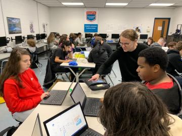
ORNL computer scientist Catherine Schuman returned to her alma mater, Harriman High School, to lead Hour of Code activities and talk to students about her job as a researcher.
Oak Ridge National Laboratory is training next-generation cameras called dynamic vision sensors, or DVS, to interpret live information—a capability that has applications in robotics and could improve autonomous vehicle sensing.
Researchers at Oak Ridge National Laboratory are taking inspiration from neural networks to create computers that mimic the human brain—a quickly growing field known as neuromorphic computing.