


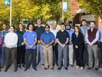
Nine student physicists and engineers from the #1-ranked Nuclear Engineering and Radiological Sciences Program at the University of Michigan, or UM, attended a scintillation detector workshop at Oak Ridge National Laboratory Oct. 10-13.
Over the past seven years, researchers in ORNL’s Geospatial Science and Human Security Division have mapped and characterized all structures within the United States and its territories to aid FEMA in its response to disasters. This dataset provides a consistent, nationwide accounting of the buildings where people reside and work.

It’s a simple premise: To truly improve the health, safety, and security of human beings, you must first understand where those individuals are.
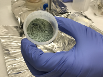
ORNL researchers used the nation’s fastest supercomputer to map the molecular vibrations of an important but little-studied uranium compound produced during the nuclear fuel cycle for results that could lead to a cleaner, safer world.

A team of researchers has developed a novel, machine learning–based technique to explore and identify relationships among medical concepts using electronic health record data across multiple healthcare providers.

Tackling the climate crisis and achieving an equitable clean energy future are among the biggest challenges of our time.
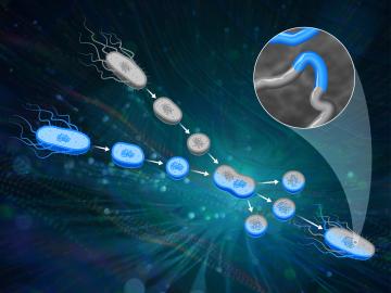
ORNL scientists had a problem mapping the genomes of bacteria to better understand the origins of their physical traits and improve their function for bioenergy production.

From materials science and earth system modeling to quantum information science and cybersecurity, experts in many fields run simulations and conduct experiments to collect the abundance of data necessary for scientific progress.

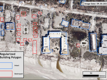
A novel approach developed by scientists at ORNL can scan massive datasets of large-scale satellite images to more accurately map infrastructure – such as buildings and roads – in hours versus days.

A typhoon strikes an island in the Pacific Ocean, downing power lines and cell towers. An earthquake hits a remote mountainous region, destroying structures and leaving no communication infrastructure behind.