

Laboratory Director Thomas Zacharia presented five Director’s Awards during Saturday night's annual Awards Night event hosted by UT-Battelle, which manages ORNL for the Department of Energy.
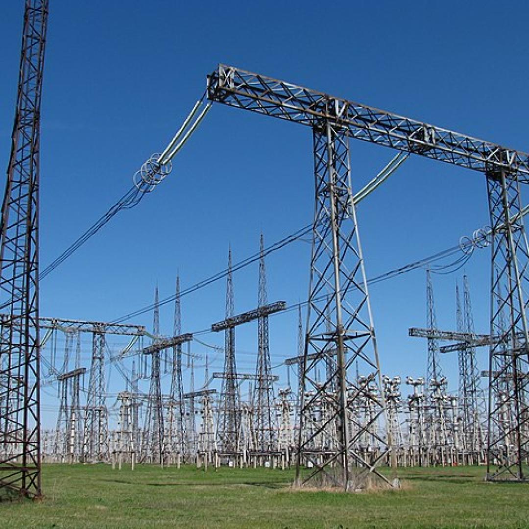
Over the past seven years, researchers in ORNL’s Geospatial Science and Human Security Division have mapped and characterized all structures within the United States and its territories to aid FEMA in its response to disasters. This dataset provides a consistent, nationwide accounting of the buildings where people reside and work.
ORNL scientists will present new technologies available for licensing during the annual Technology Innovation Showcase. The event is 9 a.m. to 3 p.m. Thursday, June 16, at the Manufacturing Demonstration Facility at ORNL’s Hardin Valley campus.

Six ORNL scientists have been elected as fellows to the American Association for the Advancement of Science, or AAAS.
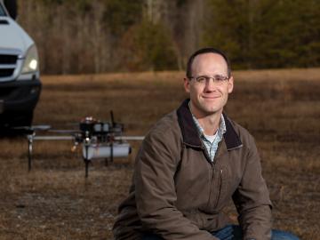
Horizon31, LLC has exclusively licensed a novel communication system that allows users to reliably operate unmanned vehicles such as drones from anywhere in the world using only an internet connection.

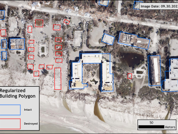
A novel approach developed by scientists at ORNL can scan massive datasets of large-scale satellite images to more accurately map infrastructure – such as buildings and roads – in hours versus days.

To better determine the potential energy cost savings among connected homes, researchers at Oak Ridge National Laboratory developed a computer simulation to more accurately compare energy use on similar weather days.
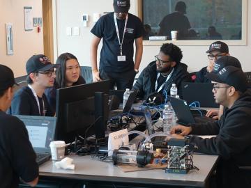
Oak Ridge National Laboratory will give college students the chance to practice cybersecurity skills in a real-world setting as a host of the Department of Energy’s fifth collegiate CyberForce Competition on Nov. 16. The event brings together student teams from across the country to compete at 10 of DOE’s national laboratories.
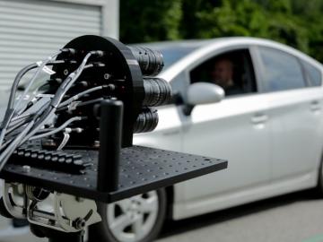
IDEMIA Identity & Security USA has licensed an advanced optical array developed at Oak Ridge National Laboratory. The portable technology can be used to help identify individuals in challenging outdoor conditions.

Gleaning valuable data from social platforms such as Twitter—particularly to map out critical location information during emergencies— has become more effective and efficient thanks to Oak Ridge National Laboratory.