

Scientists at ORNL used their knowledge of complex ecosystem processes, energy systems, human dynamics, computational science and Earth-scale modeling to inform the nation’s latest National Climate Assessment, which draws attention to vulnerabilities and resilience opportunities in every region of the country.
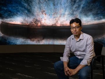
Wildfires have shaped the environment for millennia, but they are increasing in frequency, range and intensity in response to a hotter climate. The phenomenon is being incorporated into high-resolution simulations of the Earth’s climate by scientists at the Department of Energy’s Oak Ridge National Laboratory, with a mission to better understand and predict environmental change.
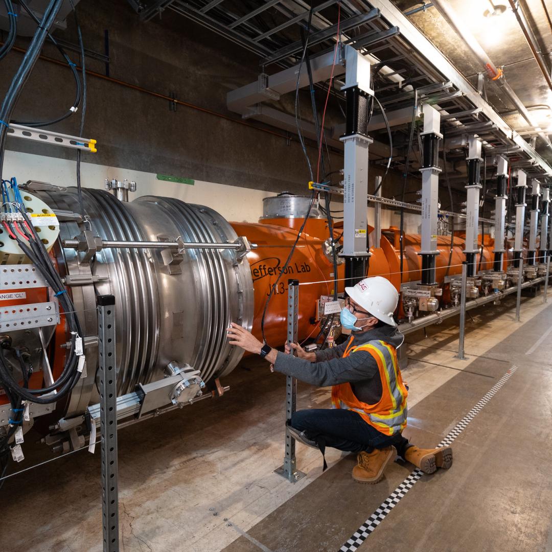
With the world’s first exascale supercomputer now fully open for scientific business, researchers can thank the early users who helped get the machine up to speed.
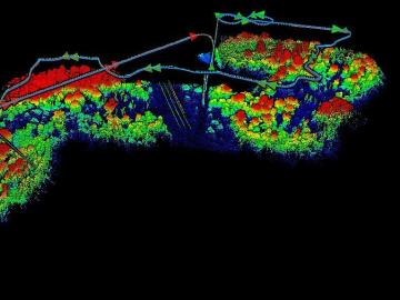
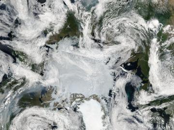
The Autonomous Systems group at ORNL is in high demand as it incorporates remote sensing into projects needing a bird’s-eye perspective.
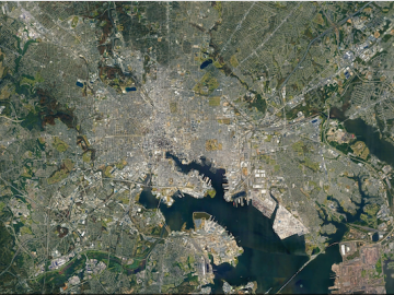
ORNL researchers are deploying their broad expertise in climate data and modeling to create science-based mitigation strategies for cities stressed by climate change as part of two U.S. Department of Energy Urban Integrated Field Laboratory projects.
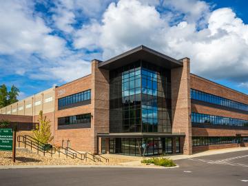
ORNL scientists will present new technologies available for licensing during the annual Technology Innovation Showcase. The event is 9 a.m. to 3 p.m. Thursday, June 16, at the Manufacturing Demonstration Facility at ORNL’s Hardin Valley campus.