ORNL researchers are deploying their broad expertise in climate data and modeling to create science-based mitigation strategies for cities stressed by climate change as part of two U.S. Department of Energy Urban Integrated Field Laboratory projects.
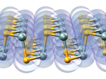
A multi-lab research team led by ORNL's Paul Kent is developing a computer application called QMCPACK to enable precise and reliable predictions of the fundamental properties of materials critical in energy research.
Five National Quantum Information Science Research Centers are leveraging the behavior of nature at the smallest scales to develop technologies for science’s most complex problems.
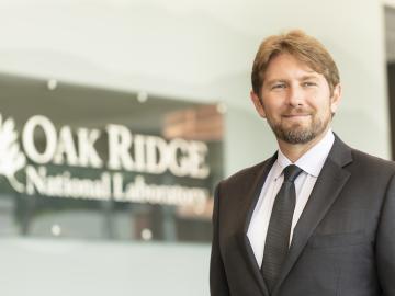
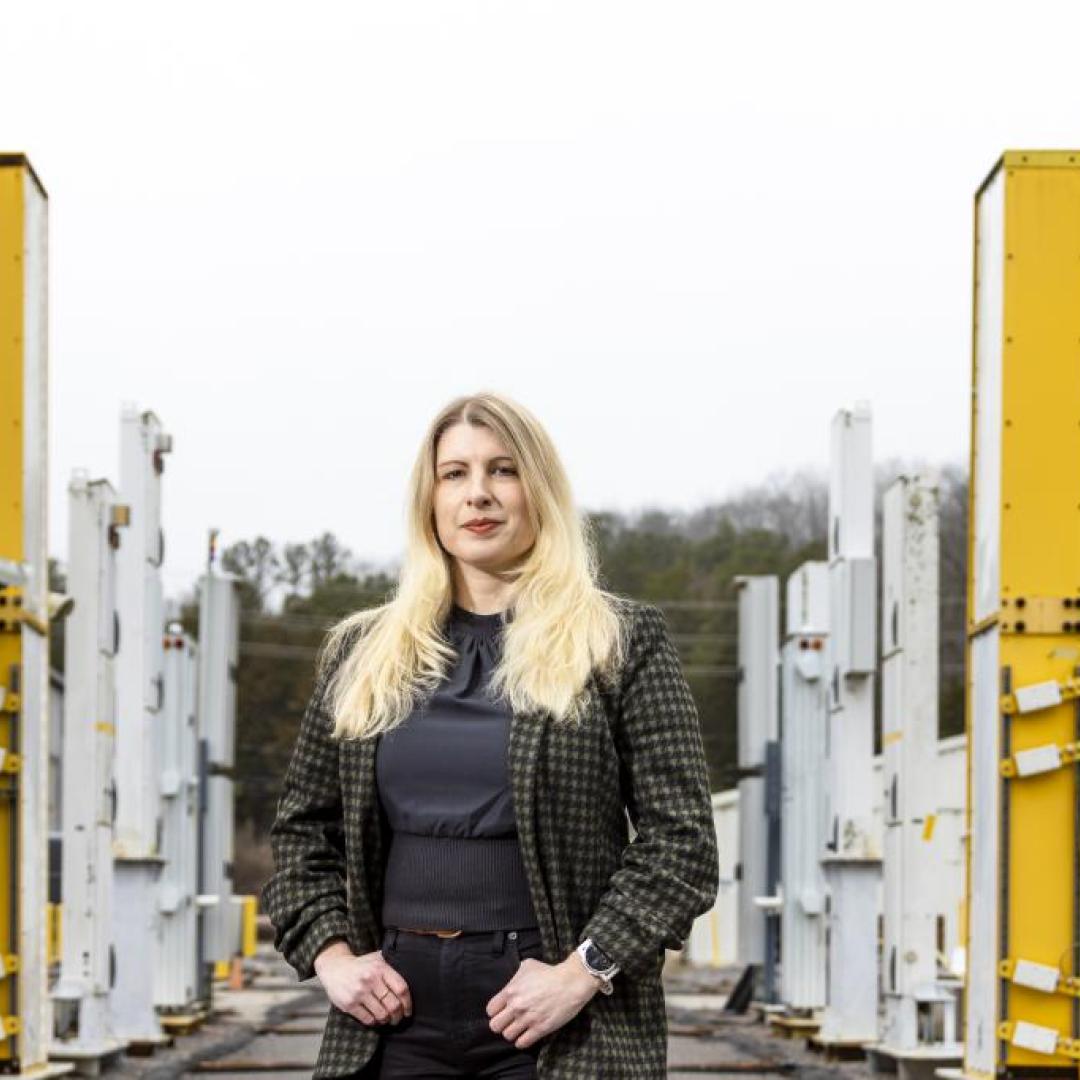
Travis Humble has been named director of the Quantum Science Center headquartered at ORNL. The QSC is a multi-institutional partnership that spans industry, academia and government institutions and is tasked with uncovering the full potential of quantum materials, sensors and algorithms.
Cameras see the world differently than humans. Resolution, equipment, lighting, distance and atmospheric conditions can impact how a person interprets objects on a photo.
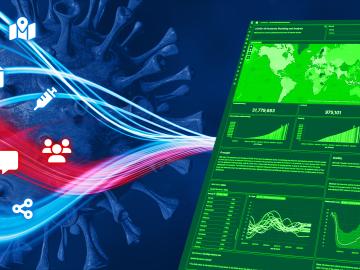
When the COVID-19 pandemic stunned the world in 2020, researchers at ORNL wondered how they could extend their support and help
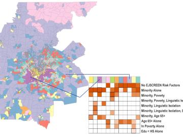
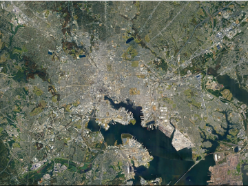
Scientists develop environmental justice lens to identify neighborhoods vulnerable to climate change
A new capability to identify urban neighborhoods, down to the block and building level, that are most vulnerable to climate change could help ensure that mitigation and resilience programs reach the people who need them the most.

It’s a simple premise: To truly improve the health, safety, and security of human beings, you must first understand where those individuals are.

A team of researchers has developed a novel, machine learning–based technique to explore and identify relationships among medical concepts using electronic health record data across multiple healthcare providers.

Tackling the climate crisis and achieving an equitable clean energy future are among the biggest challenges of our time.