


Gleaning valuable data from social platforms such as Twitter—particularly to map out critical location information during emergencies— has become more effective and efficient thanks to Oak Ridge National Laboratory.
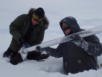
For the past six years, some 140 scientists from five institutions have traveled to the Arctic Circle and beyond to gather field data as part of the Department of Energy-sponsored NGEE Arctic project. This article gives insight into how scientists gather the measurements that inform t...