


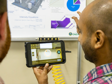
ORNL researchers have developed a training camp to help manufacturing industries reduce energy-related carbon dioxide emissions and improve cost savings.
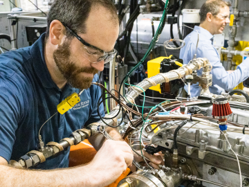
ORNL, the Department of Energy’s largest multidisciplinary laboratory, and Fairbanks Morse Defense, a portfolio company of Arcline Investment Management, have entered into a Memorandum of Understanding to collaborate on the development and integration of alternative fuel technologies aimed at reducing the marine engine’s reliance on fossil fuels.
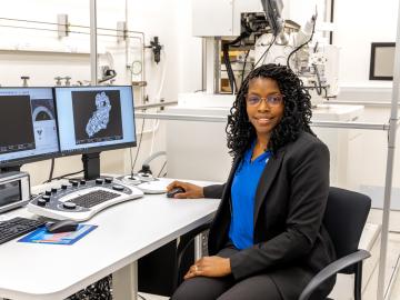
After completing a bachelor’s degree in biology, Toya Beiswenger didn’t intend to go into forensics. But almost two decades later, the nuclear security scientist at ORNL has found a way to appreciate the art of nuclear forensics.
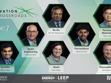
Seven entrepreneurs will embark on a two-year fellowship as the seventh cohort of Innovation Crossroads kicks off this month at ORNL. Representing a range of transformative energy technologies, Cohort 7 is a diverse class of innovators with promising new companies.
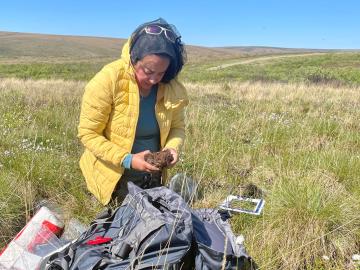
Wildfires are an ancient force shaping the environment, but they have grown in frequency, range and intensity in response to a changing climate. At ORNL, scientists are working on several fronts to better understand and predict these events and what they mean for the carbon cycle and biodiversity.
Wildfires have shaped the environment for millennia, but they are increasing in frequency, range and intensity in response to a hotter climate. The phenomenon is being incorporated into high-resolution simulations of the Earth’s climate by scientists at the Department of Energy’s Oak Ridge National Laboratory, with a mission to better understand and predict environmental change.
When geoinformatics engineering researchers at the Department of Energy’s Oak Ridge National Laboratory wanted to better understand changes in land areas and points of interest around the world, they turned to the locals — their data, at least.
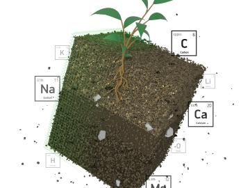
Oak Ridge National Laboratory researchers recently demonstrated use of a laser-based analytical method to accelerate understanding of critical plant and soil properties that affect bioenergy plant growth and soil carbon storage.
Scientist-inventors from ORNL will present seven new technologies during the Technology Innovation Showcase on Friday, July 14, from 8 a.m.–4 p.m. at the Joint Institute for Computational Sciences on ORNL’s campus.
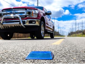
Working with Western Michigan University and other partners, ORNL engineers are placing low-powered sensors in the reflective raised pavement markers that are already used to help drivers identify lanes. Microchips inside the markers transmit information to passing cars about the road shape to help autonomous driving features function even when vehicle cameras or remote laser sensing, called LiDAR, are unreliable because of fog, snow, glare or other obstructions.