Unlocking Insights, Transforming Decisions
Pioneering the Future of Geospatial Intelligence
Our researchers are leaders in GeoAI, remote sensing, resilient communications, autonomous systems, geomatics and spatial statistics. We derive value for government decision makers by developing game-changing technology.

Our Research

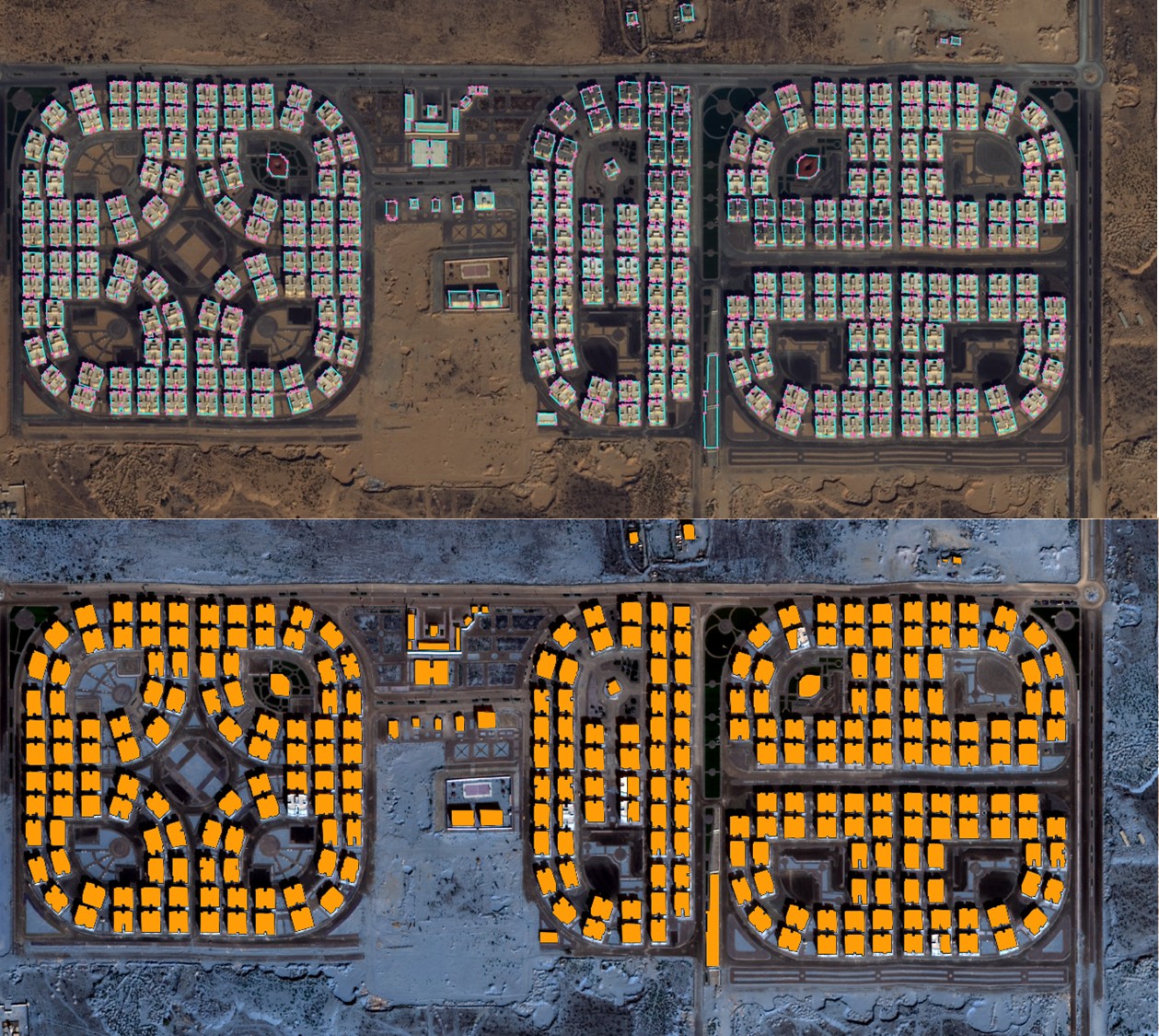
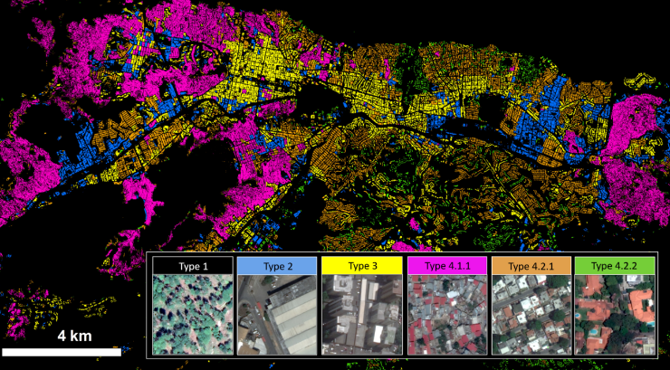
GeoAI
Develops novel mathematical and computer science capabilities for curating, fusing, analyzing, and visualizing data sets, artificial intelligence, uncertainty quantification, data validation, privacy preservation, and anonymization techniques.

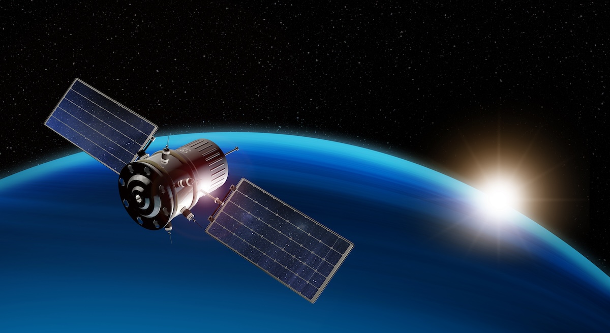
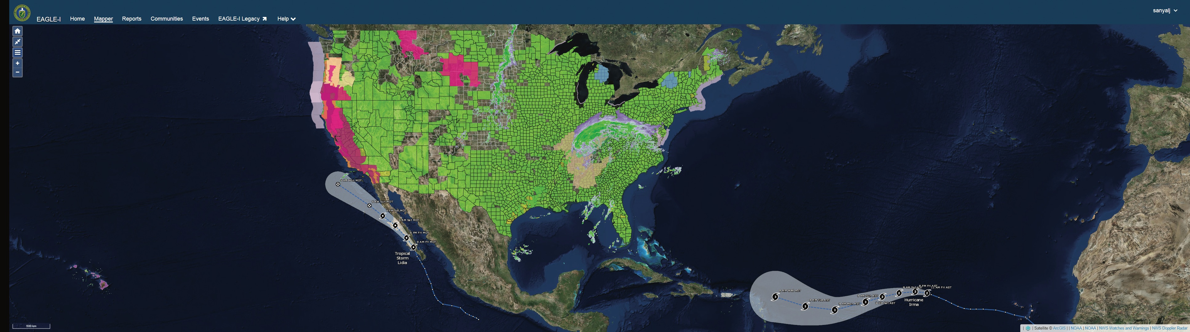
Remote Sensing
Develops algorithms for multimodal sensors and platforms, sensor characterization and modeling, spatial and spectral exploitation using photogrammetry, image science, and computational science approaches.

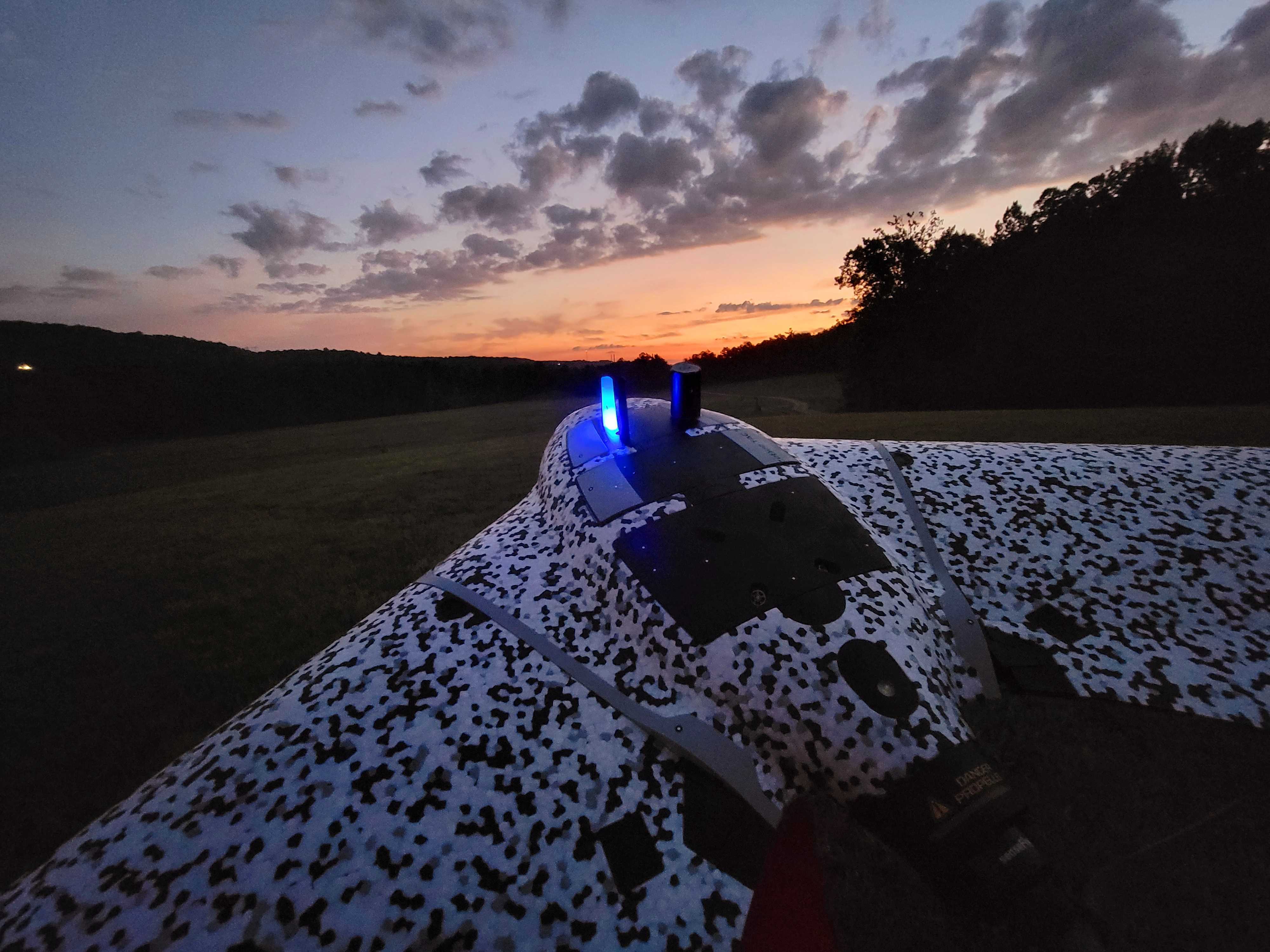
Autonomous Systems
Develops remotely operated, autonomous ground and air systems by combining expertise in embedded systems, sensors, software, aviation systems, and mechanical engineering.

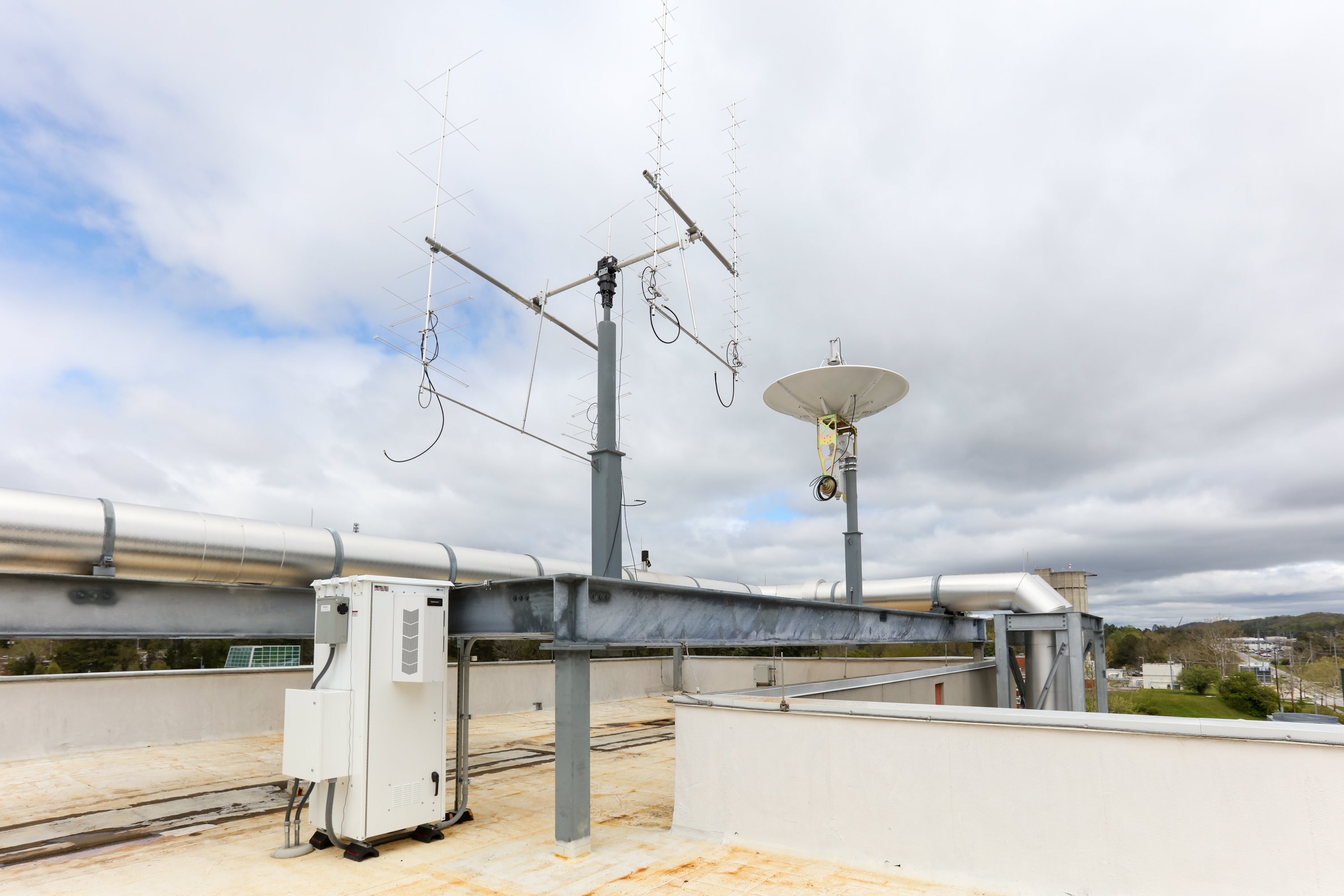
Resilient Communications
Develops strategies for resilient, integrated communications for edge devices.

Geomatics
Develops critical geographic data for global situational awareness, navigation, and national defense.

Spatial Statistics
Develops advanced statistical and machine learning methods to tackle some of today’s most pressing geospatial and human dynamics challenges.
Contact

Dave Page, Section Head for Geographic Data Science
View Dave's Profile
Dave Page, Section Head for Geographic Data Science