
Quantum precision reached in modeling molten salt behavior

Oak Ridge National Laboratory researchers used images from a photo-sharing website to identify crude oil train routes across the nation to provide data that could help transportation planners better understand regional impacts.
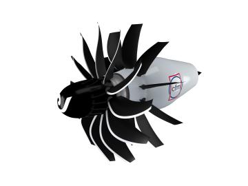
To support the development of a revolutionary new open fan engine architecture for the future of flight, GE Aerospace has run simulations using the world’s fastest supercomputer capable of crunching data in excess of exascale speed, or more than a quintillion calculations per second.
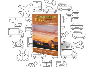
It’s been referenced in Popular Science and Newsweek, cited in the Economic Report of the President, and used by agencies to create countless federal regulations.

Ross Wang has been intent on resolving traffic jams since he rode a city bus every day through 40 minutes of traffic to get to his elementary school. That daily journey left an impression that would shape his career.
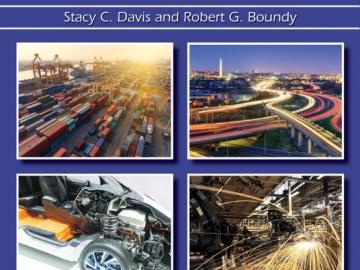
Oak Ridge National Laboratory’s latest Transportation Energy Data Book: Edition 37 reports that the number of vehicles nationwide is growing faster than the population, with sales more than 17 million since 2015, and the average household vehicle travels more than 11,000 miles per year.
