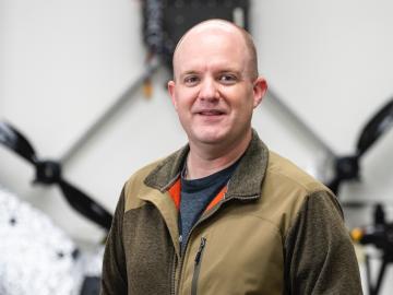
Jairus Hines, an electronics and unmanned systems technician at ORNL, works with airborne, waterborne and ground-based drones.
Jairus Hines, an electronics and unmanned systems technician at ORNL, works with airborne, waterborne and ground-based drones.

During Hurricanes Helene and Milton, ORNL deployed drone teams and the Mapster platform to gather and share geospatial data, aiding recovery and damage assessments. ORNL's EAGLE-I platform tracked utility outages, helping prioritize recovery efforts.
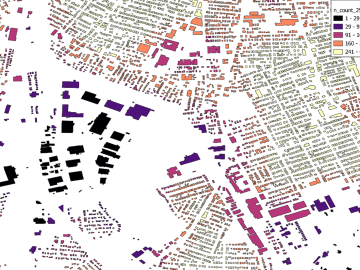
Researchers are using machine learning to provide a more complete picture of building geometries that include building height to within three meters of accuracy.

The Department of Energy’s Office of Electricity, in partnership with ORNL, has launched an experimental platform for energy sector-related data with enhanced emphasis on governance and usability.
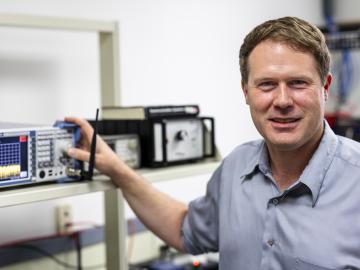
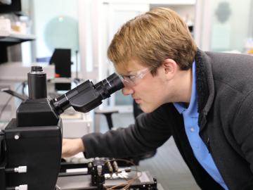
ORNL researcher Corey Cooke investigates challenges in radar, digital signal processing and communications systems while serving as a joint faculty member at Tennessee Tech, teaching online courses and advising graduate students to create a pipeline for

ORNL and NASA co-hosted the fourth iteration of this invitation-only event, which brings together geospatial, computational, data and engineering experts around a theme.

Karly Harrod, recipient of the Early Career Competition Laboratory Directed Research and Development award at ORNL, is focused on extracting disease data from reports.
Summer interns at the Department of Energy’s Oak Ridge National Laboratory recently dove into various smart devices to better understand cybersecurity vulnerabilities posed by technology meant to simplify a user’s life.
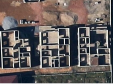
Researchers at ORNL are using satellite images of homes under construction to address gaps in census data, especially in areas like Sub-Saharan Africa.