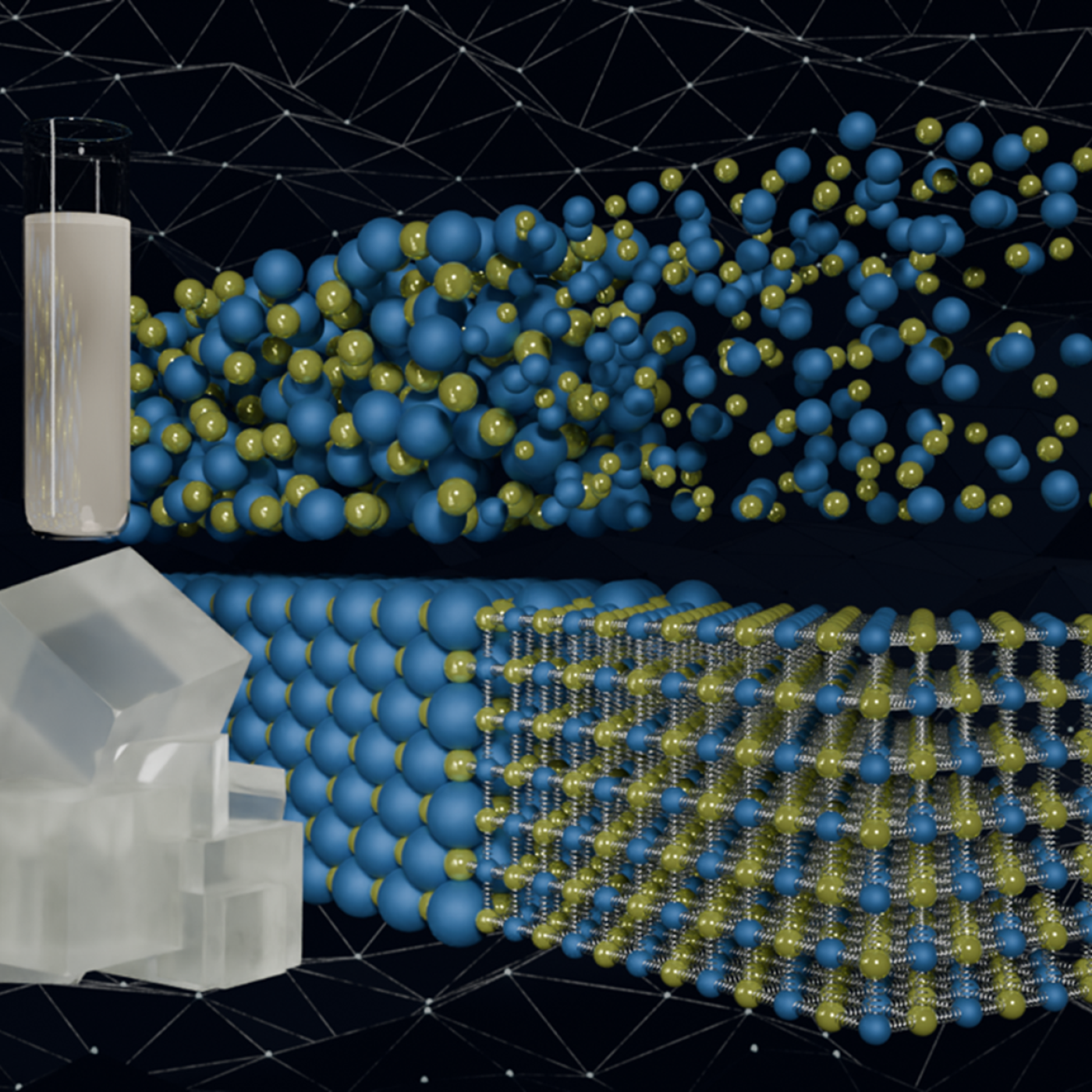
Quantum precision reached in modeling molten salt behavior
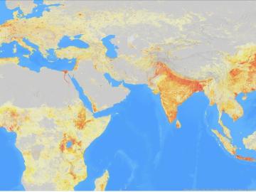
It’s a simple premise: To truly improve the health, safety, and security of human beings, you must first understand where those individuals are.

A team of researchers has developed a novel, machine learning–based technique to explore and identify relationships among medical concepts using electronic health record data across multiple healthcare providers.
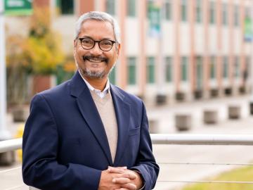
ORNL’s Budhendra “Budhu” Bhaduri has been elected a fellow of the American Association of Geographers. The honor recognizes Bhaduri as “a world leader in innovation, development and application of research in human dynamics, geographic data science, remote sensing and scalable geocomputation.”

Using novel data sets and computing systems, researchers at ORNL are simulating how climate change affects the safety and security of the country.

A team of collaborators from ORNL, Google Inc., Snowflake Inc. and Ververica GmbH has tested a computing concept that could help speed up real-time processing of data that stream on mobile and other electronic devices.

From materials science and earth system modeling to quantum information science and cybersecurity, experts in many fields run simulations and conduct experiments to collect the abundance of data necessary for scientific progress.
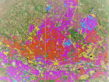
Geospatial scientists at Oak Ridge National Laboratory analyzed three cities of varying infrastructures to look for patterns of electricity use and locate “dark spots” where informal neighborhoods may lack access to power.
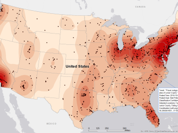
Gleaning valuable data from social platforms such as Twitter—particularly to map out critical location information during emergencies— has become more effective and efficient thanks to Oak Ridge National Laboratory.
