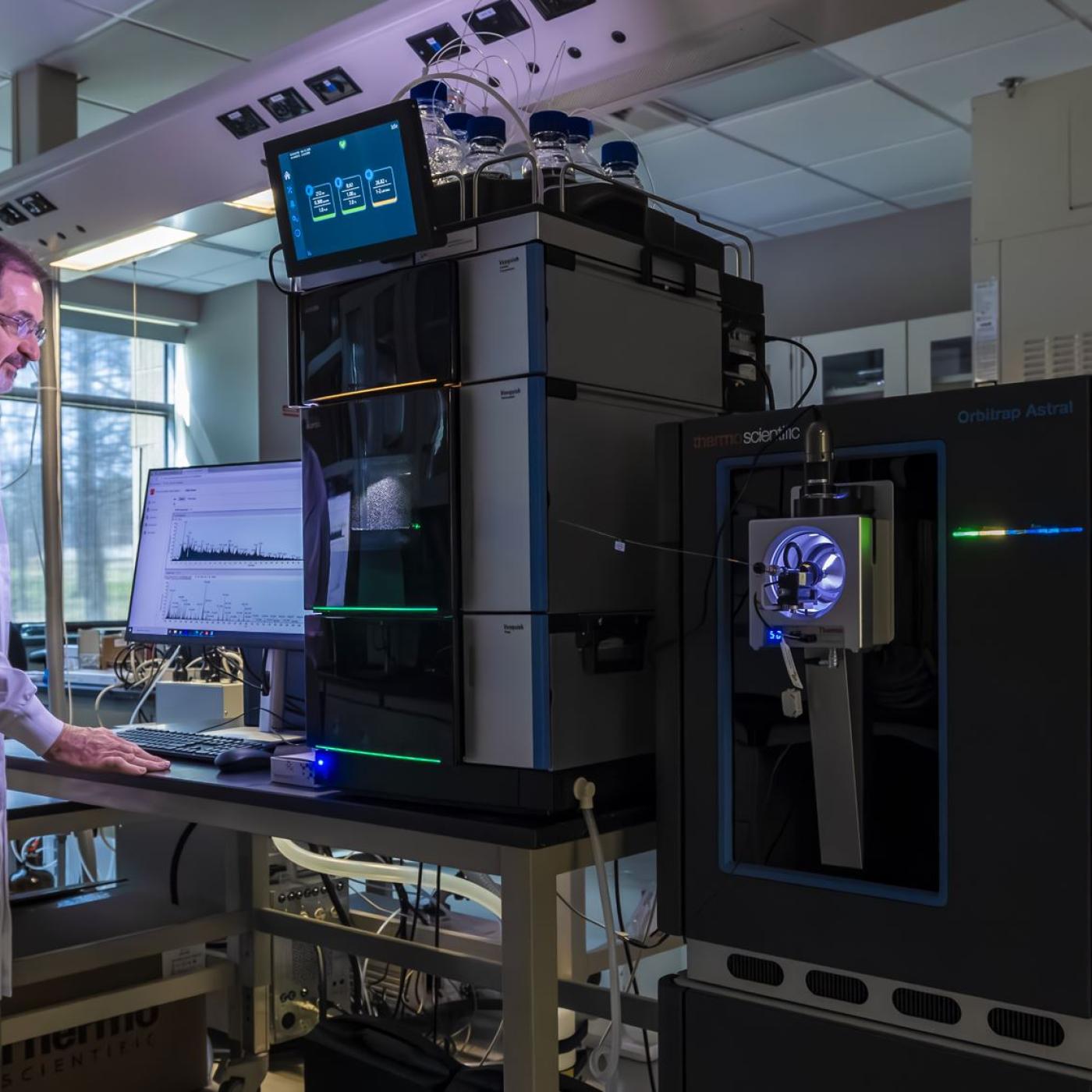
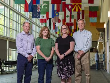
Robert Hettich: Decoding biological complexity with next-gen mass spectrometry
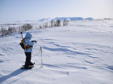
Researchers led by Oak Ridge National Laboratory have been criss-crossing the Alaskan tundra for 12 years, collecting data as part of the Next-Generation Ecosystem Experiments in the Arctic project, or NGEE Arctic. They’re tracking rapid changes in the land as temperatures rise.
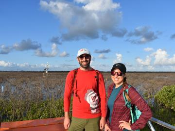
To better understand important dynamics at play in flood-prone coastal areas, Oak Ridge National Laboratory scientists working on simulations of Earth’s carbon and nutrient cycles paid a visit to experimentalists gathering data in a Texas wetland.
In 1993 as data managers at ORNL began compiling observations from field experiments for the National Aeronautics and Space Administration, the information fit on compact discs and was mailed to users along with printed manuals.
For 25 years, scientists at Oak Ridge National Laboratory have used their broad expertise in human health risk assessment, ecology, radiation protection, toxicology and information management to develop widely used tools and data for the U.S. Environmental Protection Agency as part of the agency’s Superfund program.
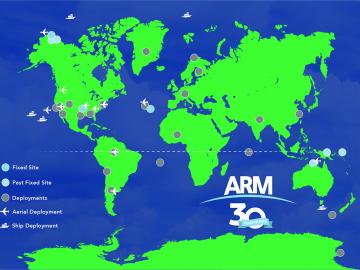
From the Arctic to the Amazon, understanding the atmosphere is key to understanding our climate and other Earth systems. The ARM Data Center collects and manages global observational and experimental data amassed by the Department of Energy Office of Science’s Atmospheric Radiation Measurement user facility. For the past 30 years, it has been making this data accessible to scientists around the world who study and model the Earth’s climate.
Climate change often comes down to how it affects water, whether it’s for drinking, electricity generation, or how flooding affects people and infrastructure. To better understand these impacts, ORNL water resources engineer Sudershan Gangrade is integrating knowledge ranging from large-scale climate projections to local meteorology and hydrology and using high-performance computing to create a holistic view of the future.
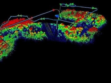
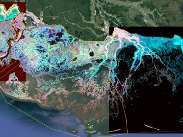
The Autonomous Systems group at ORNL is in high demand as it incorporates remote sensing into projects needing a bird’s-eye perspective.
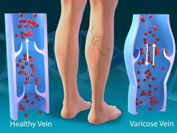
As part of a multi-institutional research project, scientists at ORNL leveraged their computational systems biology expertise and the largest, most diverse set of health data to date to explore the genetic basis of varicose veins.
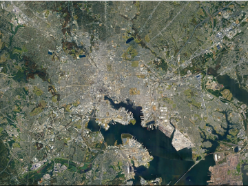
ORNL researchers are deploying their broad expertise in climate data and modeling to create science-based mitigation strategies for cities stressed by climate change as part of two U.S. Department of Energy Urban Integrated Field Laboratory projects.
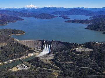
ORNL has provided hydropower operators with new data to better prepare for extreme weather events and shifts in seasonal energy demands caused by climate change.