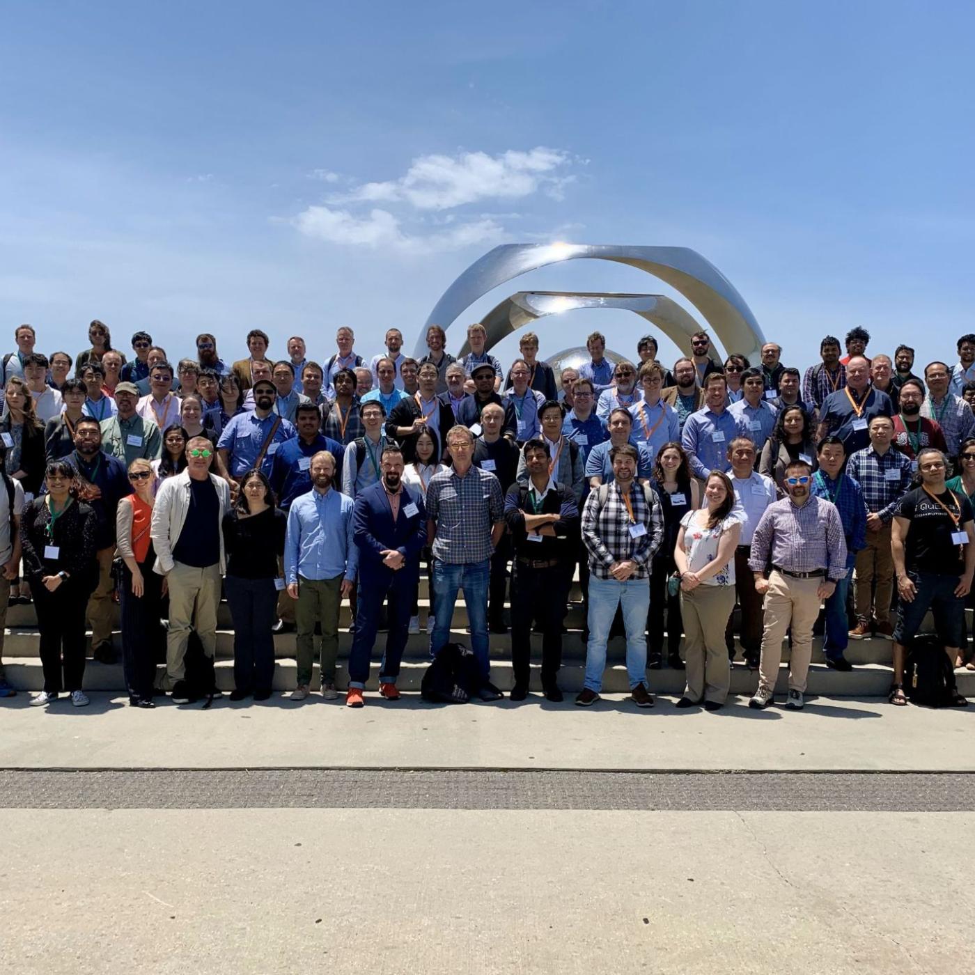
Leaders in quantum science reflect, plan for future innovation
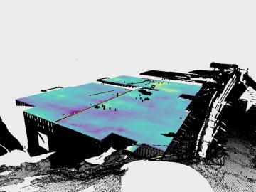
Researchers at ORNL have developed a tool that gives builders a quick way to measure, correct and certify level foundations. FLAT, or the Flat and Level Analysis Tool, examines a 360-degree laser scan of a construction site using ORNL-developed segmentation algorithms and machine learning to locate uneven areas on a concrete slab.
