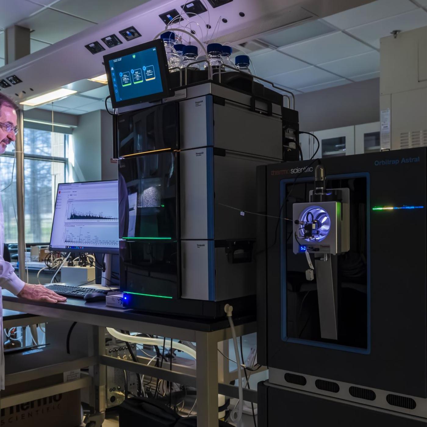
Robert Hettich: Decoding biological complexity with next-gen mass spectrometry
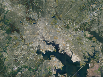
ORNL researchers are deploying their broad expertise in climate data and modeling to create science-based mitigation strategies for cities stressed by climate change as part of two U.S. Department of Energy Urban Integrated Field Laboratory projects.
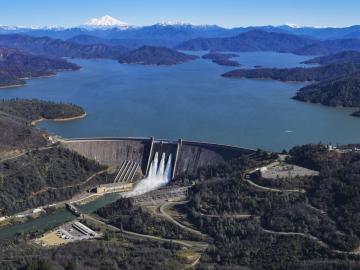
ORNL has provided hydropower operators with new data to better prepare for extreme weather events and shifts in seasonal energy demands caused by climate change.
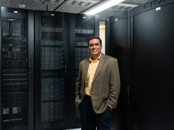
The Atmospheric Radiation Measurement Data Center is shepherding changes to its operations to make the treasure trove of data more easily available accessible and useful to scientists studying Earth’s climate.