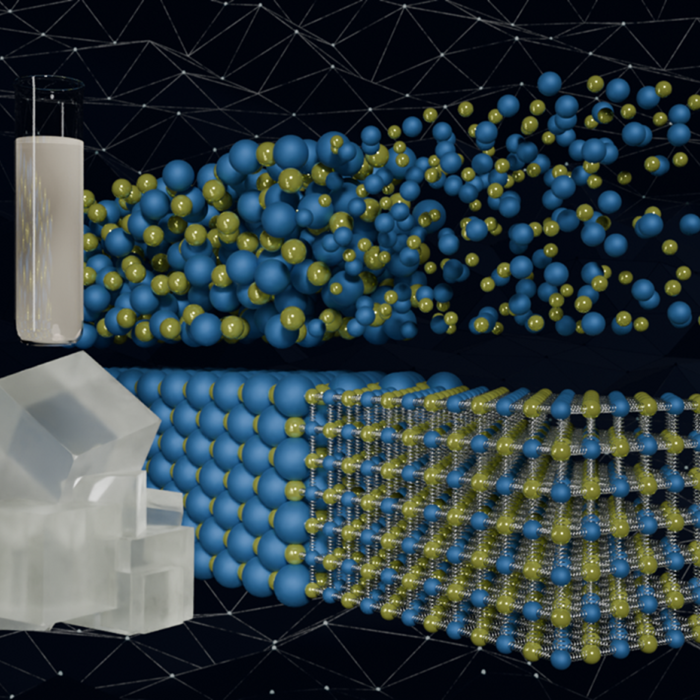
Quantum precision reached in modeling molten salt behavior
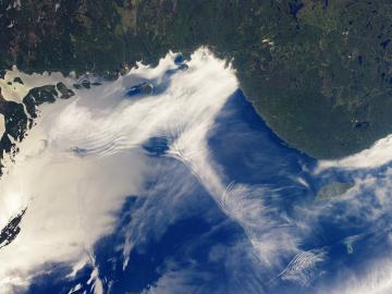
Researchers at Stanford University, the European Center for Medium-Range Weather Forecasts, or ECMWF, and ORNL used the lab’s Summit supercomputer to better understand atmospheric gravity waves, which influence significant weather patterns that are difficult to forecast.

The ForWarn visualization tool was co-developed by ORNL with the U.S. Forest Service. The tool captures and analyzes satellite imagery to track impacts such as storms, wildfire and pests on forests across the nation.
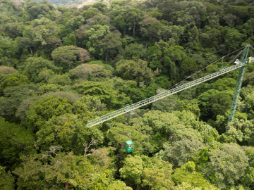
Scientists using high-resolution aerial scans and computational modeling concluded that wildfires, storms and selective logging have become key drivers behind rainforest carbon emissions, outpacing clear-cutting practices.
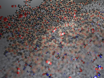
Researchers at ORNL have demonstrated that small molecular tweaks to surfaces can improve absorption technology for direct air capture of carbon dioxide. The team added a charged polymer layer to an amino acid solution, and then, through spectroscopy and simulation, found that the charged layer can hold amino acids at its surface.

Oak Ridge National Laboratory scientists have developed a method leveraging artificial intelligence to accelerate the identification of environmentally friendly solvents for industrial carbon capture, biomass processing, rechargeable batteries and other applications.

Researchers at Oak Ridge National Laboratory have developed free data sets to estimate how much energy any building in the contiguous U.S. will use in 2100. These data sets provide planners a way to anticipate future energy needs as the climate changes.

ORNL scientists develop a sample holder that tumbles powdered photochemical materials within a neutron beamline — exposing more of the material to light for increased photo-activation and better photochemistry data capture.
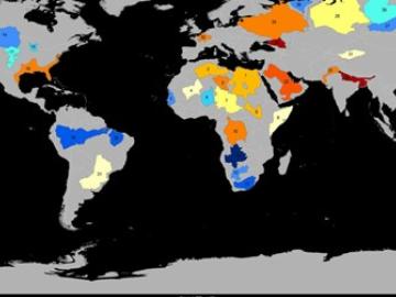
Groundwater withdrawals are expected to peak in about one-third of the world’s basins by 2050, potentially triggering significant trade and agriculture shifts, a new analysis finds.
ORNL climate modeling expertise contributed to a project that assessed global emissions of ammonia from croplands now and in a warmer future, while also identifying solutions tuned to local growing conditions.
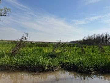
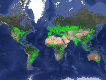
Scientists at the Department of Energy’s Oak Ridge National Laboratory are using a new modeling framework in conjunction with data collected from marshes in the Mississippi Delta to improve predictions of climate-warming methane and nitrous oxide.
