Showing how places change and people move over time
Showing how places change and people move over time
The Geospatial Data Modeling Group engages in cutting-edge geospatial science, AI/ML, and data engineering to enable critical infrastructure monitoring, human mobility modeling, and emergency response efforts for government response. We support geospatial data and models to support DOE, DOD, DHS, and various other federal, state, and regional agencies for various national security missions and natural disaster response.
Our work directly impacts decision-making for disaster response, counterterrorism, and global security planning, making it a mission-driven environment where technical expertise meets real-world impact.
Innovative modeling for enhanced data sets
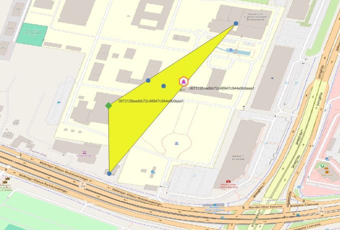
We design automated tools that validate and enhance the spatial accuracy of critical material data by integrating and conflating open-source geospatial information. Our capabilities cross-reference geolocated addresses and special interest dataset inventories with publicly available data—including Points of Interest (POIs) from widely used platforms—to assess and refine location intelligence. This process supports international security and nonproliferation efforts by enabling precise verifications at the site or facility level.
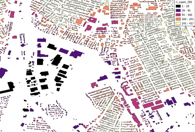
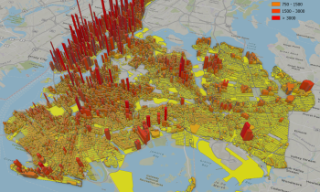
Leveraging Open-Source Points of Interest for City Level Activity Patterns
We have the capability to leverage global, open-source data to understand and model city-level activity patterns—even in regions where authoritative data is limited or unavailable. By harnessing spatially explicit Points of Interest (POIs) and other open datasets (like buildings, road networks, and neighborhoods), we can deliver fine-resolution insights into how urban areas function across space and time.
By mapping any and all available data with rich attributes—such as business type, hours of operation, and user activity signals—we can capture the pulse of a city. This enables dynamic analysis of land use distributions, mobility patterns, and temporal activity zones, supporting critical applications like emergency response, urban planning, and high-resolution mapping of residential and non-residential spaces.
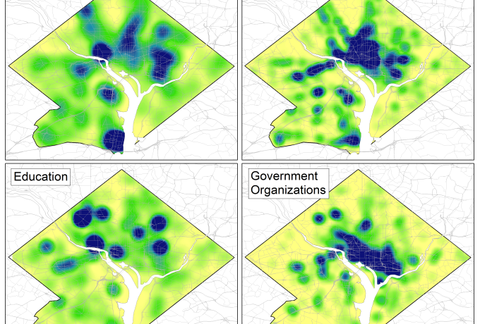
Visualizing data for decision-makers
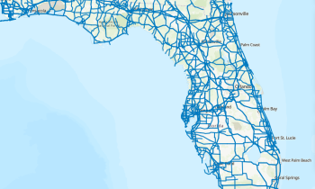
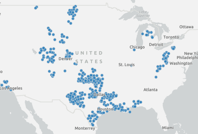
Homeland Infrastructure Foundation-Level Data (HIFLD)
Homeland Infrastructure Foundation-Level Data (HIFLD)
The Homeland Infrastructure Foundation-Level Data curates and provides access to geospatial data on U.S. critical infrastructure. It is used by various federal, state, and regional agencies for homeland security/defense analysis, planning, and operations. Users can view data and download CSV, KML, and Shapefiles for visualization and application development. HIFLD is produced by the Geospatial Data Modeling group.
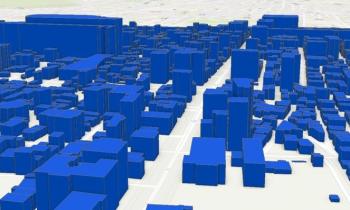
Feature Engineering for Built Environment Characterization
Feature Engineering for Built Environment Characterization
Our team applies advanced feature engineering techniques to global-scale vector data, extracting key attributes such as building height and land use (residential vs. non-residential). These enriched datasets are critical for training machine learning models that support geospatial intelligence and infrastructure analysis
Tactical Intelligence and Infrastructure Monitoring
Tactical Intelligence and Infrastructure Monitoring
We develop data pipelines and conflation techniques that integrate Points of Interest (POI) and building attributes to analyze human mobility patterns and critical infrastructure vulnerabilities. These capabilities support national and international security efforts in disaster response, counterterrorism operations for radiological material, and infrastructure resilience planning.
A team that sees the world
Geospatial Data Modeling team members conduct research on geometric primitives and vector data engineering, spatial data fusion, large scale spatial data workflows, as well algorithm and software development for geospatial applications. Educational backgrounds span geospatial science, environmental informatics, remote sensing and data science. Additionally, researchers are proficient in geospatial and remote sensing techniques, application of machine learning on large spatial datasets, image classification, data engineering , data conflation, and geospatial intelligence.
Contact

Nagendra Singh, Geospatial Data Modeling Group Leader
View Nagendra's Staff Profile
Nagendra Singh, Geospatial Data Modeling Group Leader