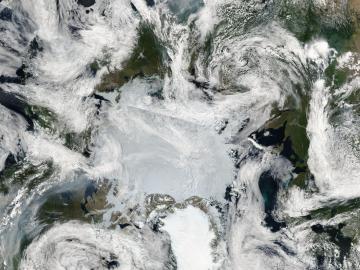
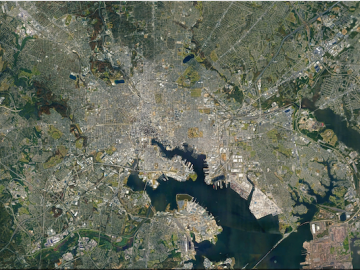
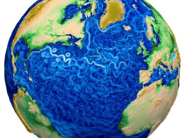
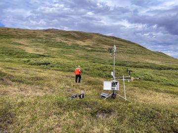
Scientists at ORNL used their knowledge of complex ecosystem processes, energy systems, human dynamics, computational science and Earth-scale modeling to inform the nation’s latest National Climate Assessment, which draws attention to vulnerabilities an
Filter News
Area of Research
- (-) Supercomputing (13)
- Biological Systems (1)
- Biology and Environment (32)
- Biology and Soft Matter (1)
- Clean Energy (28)
- Climate and Environmental Systems (8)
- Computational Engineering (1)
- Computer Science (2)
- Isotopes (1)
- Materials (2)
- Materials for Computing (1)
- Mathematics (1)
- National Security (5)
- Neutron Science (2)
- Nuclear Science and Technology (1)
Wildfires have shaped the environment for millennia, but they are increasing in frequency, range and intensity in response to a hotter climate.
ORNL researchers are deploying their broad expertise in climate data and modeling to create science-based mitigation strategies for cities stressed by climate change as part of two U.S. Department of Energy Urban Integrated Field Laboratory projects.
Tackling the climate crisis and achieving an equitable clean energy future are among the biggest challenges of our time.
A new version of the Energy Exascale Earth System Model, or E3SM, is two times faster than an earlier version released in 2018.
The world is full of “huge, gnarly problems,” as ORNL research scientist and musician Melissa Allen-Dumas puts it — no matter what line of work you’re in. That was certainly the case when she would wrestle with a tough piece of music.
An international problem like climate change needs solutions that cross boundaries, both on maps and among disciplines. Oak Ridge National Laboratory computational scientist Deeksha Rastogi embodies that approach.
Improved data, models and analyses from ORNL scientists and many other researchers in the latest global climate assessment report provide new levels of certainty about what the future holds for the planet
RamSat’s mission is to take pictures of the forests around Gatlinburg, which were destroyed by wildfire in 2016.
A new tool from Oak Ridge National Laboratory can help planners, emergency responders and scientists visualize how flood waters will spread for any scenario and terrain.