
April 5, 2016 – Minimizing the impact on freight movement when events like Hurricane Sandy happen is the focus of an Oak Ridge National Laboratory ongoing study led by Marc Fialkoff, a researcher in the Geographic Information Science and Technology Group. “In the aftermath of disasters, planners and policymakers have to utilize scarce resources and work within legal frameworks to provide recovery for affected citizens and businesses,” Fialkoff said. With 19 billion tons of freight moving each year on 4 million miles of highway, 140,000 miles of railway and 25,000 miles of waterway across multiple jurisdictions, a natural or man-made disaster can wreak havoc. However, through planning and by utilizing GIS technology to illustrate effects on transportation, the ORNL team is gaining a better understanding into the logical interdependency among critical infrastructure systems. This could inform a more resilient urban design and planning. Fialkoff presented this work at the Society of American Military Engineers (http://www.tisp.org/) Critical Infrastructure Symposium in Charleston, South Carolina.
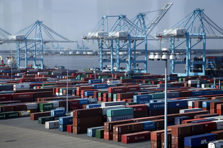
The Port of Virginia was one of the major ports that received diverted containers as a result of the closure of the Port of New York-New Jersey. Such increased cargo surges could lead to capacity constraints on the road and rail network that supports the port.
Media Contact
Communications Staff, 865.576.1946 | news@ornl.gov
