Since its inception as a modeling tool to understand Arctic landscapes, the Advanced Terrestrial Simulator (ATS) has become a flexible platform used to analyze the nation’s range of interconnected land and water systems, from the energy asset-rich U.S. Southeast to Great Lakes-adjacent farmlands. Scientists at the Department of Energy’s (DOE) Oak Ridge National Laboratory (ORNL) are refining and expanding the tool to provide actionable information for infrastructure planning and operation.
ATS is an open-source, physics-based computer model that simulates how water moves through landscapes, from rainfall and snowmelt at the surface to groundwater flowing through soil and rock. ATS was originally developed by scientists from Los Alamos, Oak Ridge, Lawrence Berkeley and Pacific Northwest national laboratories, leveraging the Amanzi code that models contaminant migration at DOE legacy sites.
From the Arctic tundra to watersheds across the nation
ATS was first designed to study changes happening to frozen soils in Alaska for the DOE Next-Generation Ecosystem Experiments (NGEE) Arctic project led by ORNL. ATS’s representation of permafrost freeze-thaw processes helped scale scientists’ field observations to regional understanding, and became a cornerstone of DOE’s Arctic research.
Today, ATS has evolved into a sophisticated watershed simulation tool capable of representing interconnected surface water, groundwater, vegetation, the movement of elements, and increasingly, human-built infrastructure such as energy facilities, roads, reservoirs and drainage systems. Researchers use ATS to investigate streamflow, flooding and drought, water quality, and the movement of nutrients and contaminants. One of its hallmarks is that ATS produces accurate digital simulations across different watersheds without a lot of site-specific tailoring.
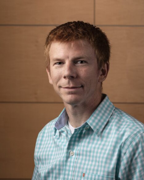
“ATS is a very flexible platform. Over time we have expanded the size and intricacy of the regions we’re modeling with ATS and shifted the focus more toward science that can inform direct applications,” said Ethan Coon, a computational hydrologist who wrote key parts of the simulator’s code as a postdoc at Los Alamos, and today leads ATS development at ORNL. “With ATS we can combine different physical processes and solve only the equations that matter for the problem at hand.”
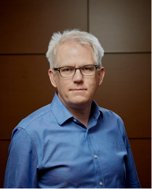
The simulator was “designed to be a composable, rather than a rigid platform,” said Scott Painter, who headed the model’s development at Los Alamos and is now lead for ORNL’s Watershed Systems Modeling Group, “Users aren’t limited to predefined modes. They can assemble the physics needed to solve entirely new classes of problems. Flexibility has become ATS’s defining strength.”
ATS is currently supporting more than 15 DOE Office of Science projects and users across universities, national laboratories and multiple countries. “And that is just the ones we know about,” Coon said. “We wanted to build more than software. We wanted a community where researchers could share ideas, ask questions and work together, and that’s become one of ATS’s greatest successes.”
The growing community of ATS users have found out about the simulator through publications, conference presentations and ORNL-led workshops and training courses.
“We’re seeing researchers publish ATS-based papers without ever working directly with us, which means the software and training have matured to the point where the community can adopt it independently,” said Saubhagya Rathore, an ORNL watershed hydrologist and frequent ATS user.
Major projects demonstrate broad impact
Multiple projects sponsored by the DOE Office of Science Biological and Environmental Research program have demonstrated ATS’s utility by using it to explore how hydrological processes interact within watersheds and control downstream water impacts on key U.S. infrastructure.
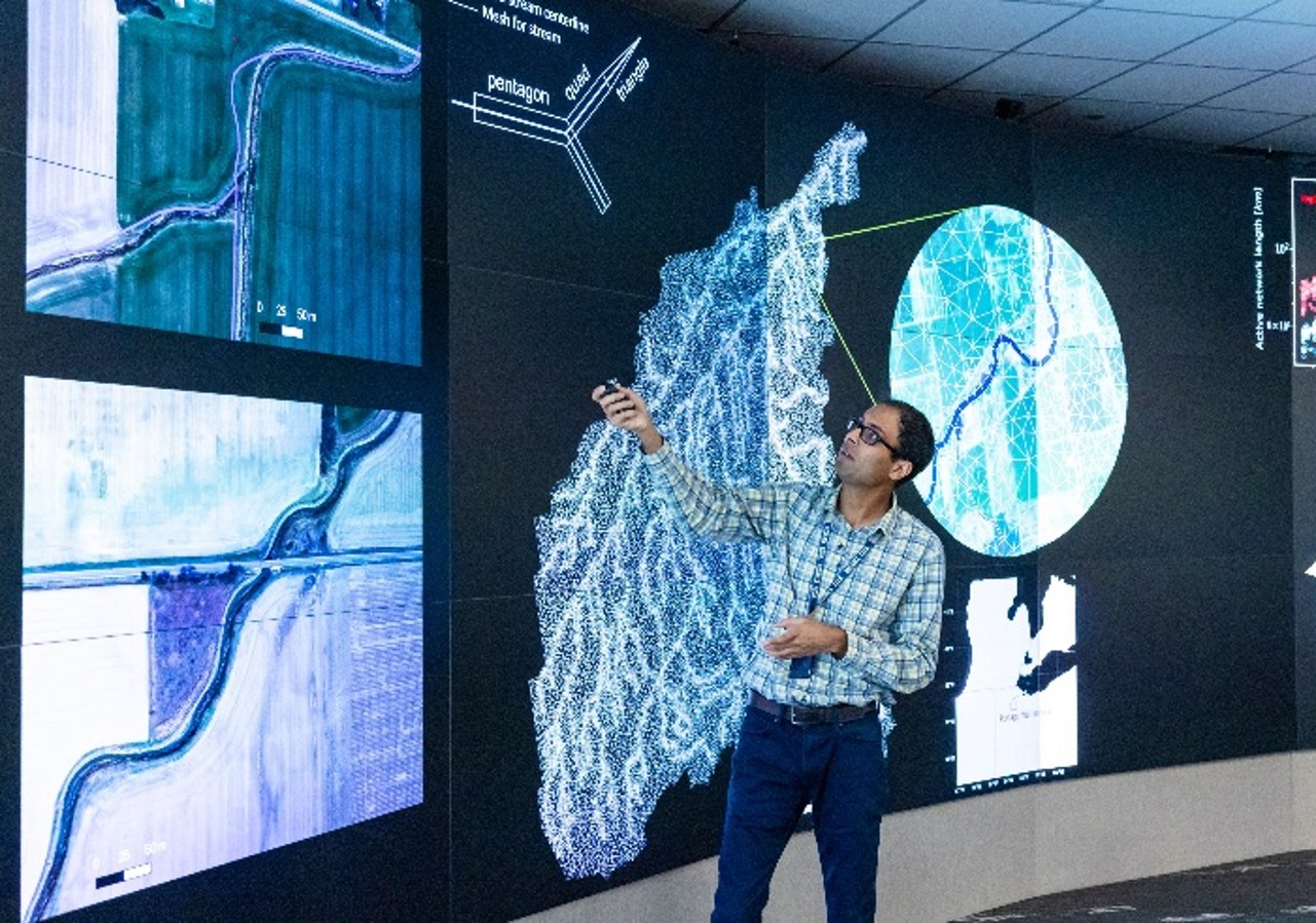
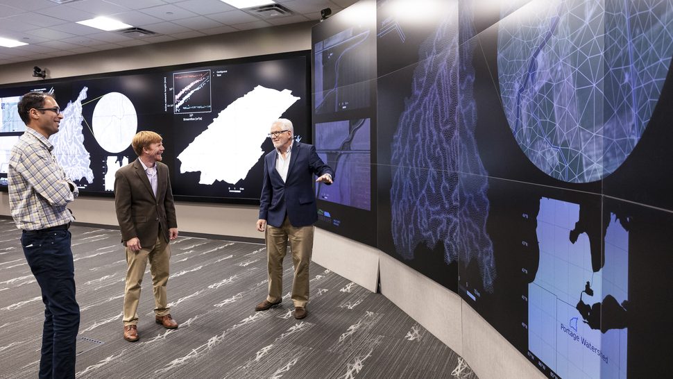
In one project, researchers used ATS to model at high resolution the drainage systems of flood-prone agricultural lands near the Great Lakes. ORNL scientists used ATS to accurately simulate agricultural ditches and subsurface tile drains in the Ohio Portage River Basin, as part of the COMPASS-Great Lakes Modeling project. ATS’s ability to represent objects with complex shapes allows it to represent landscapes in fine detail, including interactions among water, land and infrastructure.
Simulations with ATS demonstrated that the basin’s drainage system can either increase or decrease flooding, depending on storm size, soil moisture and infrastructure design. The predictions can help agricultural and water managers identify drainage strategies that improve farm productivity while reducing flood and water quality risks downstream.
“By explicitly representing agricultural ditches and drainage systems in the region, ATS captured realistic flooding patterns and exchanges between surface water and groundwater,” Rathore said.
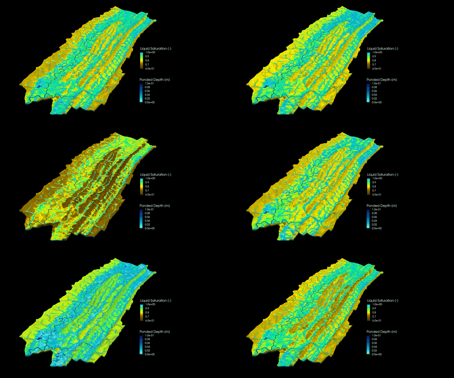
ORNL researchers are also using ATS to better understand and predict the behavior of the Tennessee River Basin, including how stream networks change in response to precipitation across an entire river system. The work is part of the DOE Watershed Dynamics and Evolution (WaDE) Science Focus Area led by ORNL.
In one paper, scientists described using a new multiscale modeling capability in ATS to realistically represent how water moving in and out of streambed sediments can significantly influence oxygen levels in rivers. By improving predictions of river metabolism across whole systems, the approach supports better-informed decisions about waterway management.
“Using ATS in the WaDE project allowed us to model stream networks that expand and contract after storm events, something that’s extremely difficult to observe across an entire watershed,” Rathore said.
ORNL scientists also used ATS to better understand and predict flood risks to infrastructure and communities in the energy-rich, low-lying Beaumont-Port Arthur region of Southeast Texas, in a joint project with regional universities. ATS helped scientists simulate flood response to 5,000 simulated storm events in the 2,000-kilometer-square Village Creek Basin in Southeast Texas.
Researchers incorporated infrastructure such as detention ponds, canals and levees, storm sewers and pumping stations into their simulations. The results provide decision-makers with data to help manage assets and plan for the future in an area that is home to North America’s largest oil refinery, large liquefied natural gas export facilities, deepwater ports and marine terminals.
“We’ve added the ability to represent not only infrastructure but also how it’s operated—when agencies turn pumps on, open gates or manage detention ponds during storms,” Coon said.
“When we simulated expanding one detention basin, for instance, the benefits propagated across the drainage network, reducing stress both upstream and downstream,” Rathore said. “The region’s stakeholders helped shape the science. They explained the bottlenecks in their drainage system, and we built those processes into ATS so we could evaluate real planning scenarios.”
“In turn, these scenarios in specific areas enable scientists to think about what generalizes across systems, improving our understanding of the water system as a whole,” Coon said.

Building resilience by understanding real-world risks
ATS developers see a future in which the simulator can help assess risks and aid resilience strategies to events such as flooding from multiple sources, a phenomenon evidenced in the aftermath of Hurricane Harvey. The hurricane-triggered compound flooding event was analyzed using another ORNL model, the Two-dimensional Runoff Inundation Toolkit for Operational Needs, or TRITON. After making landfall near Houston in 2017, Harvey stalled out, dumping more than 50 inches of rain over seven days in the region while storm surge pushed water inland from the Gulf of Mexico, overwhelming waterways and drainage systems. The storm caused nearly $160 billion in damages.
“The question isn’t just where flooding occurs today. It’s what happens if we add new infrastructure or change how existing infrastructure operates,” Coon said. “We want to understand flood risk to energy facilities. During Hurricane Harvey, flooding disrupted Gulf Coast refineries and affected gasoline prices nationwide. Those are exactly the kinds of questions these models can help us answer.”
“One of the biggest opportunities we see is using ATS to evaluate flood risk for new and existing facilities in coastal regions where compound flooding creates especially difficult challenges,” Painter said. Rather than modeling the coast in isolation, ATS can represent the entire watershed and understand how upstream changes affect coastal flooding, he added.
“ATS bridges the gap between fundamental science and real-world applications,” Rathore said. “We want to understand the questions stakeholders are trying to answer and adapt the model with the level of complexity needed to provide actionable information. By working directly with stakeholders, they can define the scenarios they care about, we run those scenarios and return the best science available to help inform their decisions.”
“The goal is to answer questions people need answered so they can have enough water, enough energy, and the information needed to plan for the future,” Coon said.
UT-Battelle manages ORNL for the Department of Energy’s Office of Science, the single largest supporter of basic research in the physical sciences in the United States. The Office of Science is working to address some of the most pressing challenges of our time. For more information, please visit energy.gov/science.
Related Researchers