
January 5, 2016 – A new data analytics approach developed by Oak Ridge National Laboratory could help forest and wildlife managers track changes in vegetation and wildlife habitat across large land areas. Computational researchers from ORNL’s Climate Change Science Institute designed a framework to transform complex LIDAR remote sensing data into high-resolution maps of vegetation canopy structures. In collaboration with the USDA Forest Service, the team used the tool to characterize the diverse ecosystems found in the Tennessee portion of the Great Smoky Mountains National Park. “Over time, we can track if vegetation is shifting from one type to another and understand how structural changes might affect habitats for animals, especially bird species,” said ORNL’s Jitendra Kumar. The tool uses machine learning to classify the vegetation types and incorporates knowledge from existing maps.
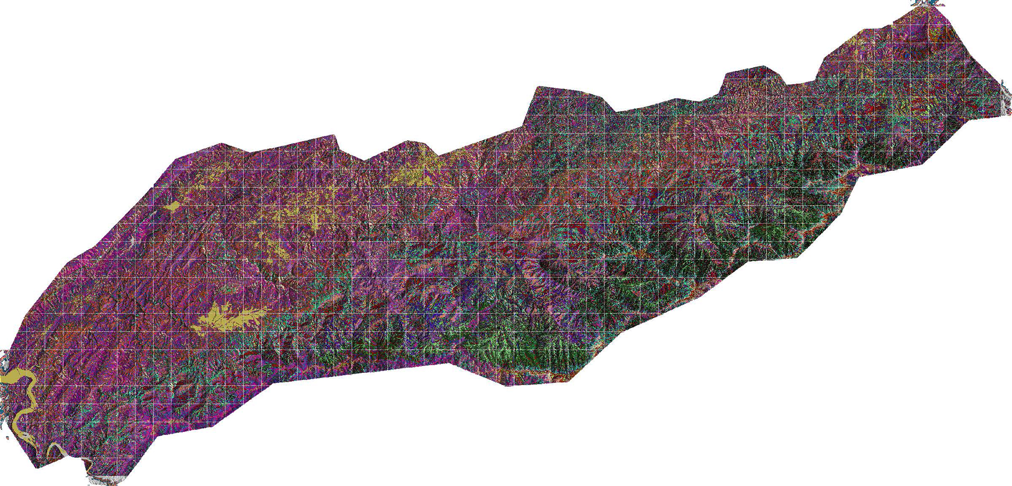
This ORNL-developed map depicts different classes of vegetation canopy structure in the Tennessee portion of the Great Smoky Mountains National Park.
Topic:
Media Contact
