Earth System Data Management and Operations
Providing world class data center capabilities in support of Earth, ecological and atmospheric science
Scientists in the Earth System Data Management and Operations Group at Oak Ridge National Laboratory provide researchers worldwide with cutting-edge data management and processing services to accelerate discoveries in Earth, ecological, and environmental sciences. The team delivers comprehensive data solutions, including sophisticated metadata management workflows, rigorous quality control processes, efficient archival systems, and intuitive data discovery tools, ensuring scientists have reliable and easy access to essential environmental datasets.
Central to these data processing capabilities are ORNL’s state-of-the-art computational resources, including Frontier, CADES, and CUMULUS. Provided by the Oak Ridge Leadership Computing Facility, these high-performance computing systems enable researchers to conduct extensive data analysis and visualization at an unprecedented scale, facilitating deeper insights into complex environmental phenomena.
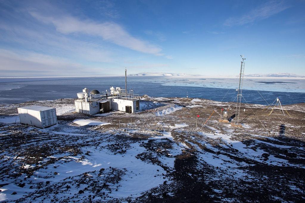
The group delivers advanced data management and informatics solutions, empowering researchers globally with efficient access to high-quality environmental data and accelerating scientific discoveries that deepen our understanding of Earth's atmospheric and ecological processes. Credit: ARM User Facility
Currently, the team supports two major initiatives: the Atmospheric Radiation Measurement (ARM) user facility and the U.S. Geological Survey (USGS) program. The ARM Data Center, a critical component of the ARM user facility, collects detailed observational data tracking atmospheric processes such as radiation dynamics, cloud properties, and airborne particle behaviors. Managed through a collaborative effort involving nine Department of Energy national laboratories, the ARM Data Center plays a vital role in advancing understanding of atmospheric science and making these insights available through the ARM data discovery tool.
For the USGS, the group enhances the accessibility of natural science information crucial for informing national decision-making regarding natural risk management and resource stewardship. Group members design and develop user-friendly interfaces that streamline researchers’ ability to locate, access, and utilize various USGS datasets. These interfaces support multiple formats and access methodologies, including application programming interfaces and web-based services, promoting greater usability and efficiency in environmental research.
Comprised of software architects, engineers, and developers, the group continually innovates to improve user experiences, facility operations, and data management infrastructure. Their efforts support routine data products, specialized value-added datasets, field campaigns, and complementary external datasets. To further assist researchers, the group provides comprehensive data quality reports, graphical displays of data availability and quality, and insightful visualizations. Additionally, data products are curated into citable formats and made publicly accessible through intuitive discovery tools, significantly enhancing researchers’ abilities to achieve scientific breakthroughs in Earth system science.
