Advancing human security
ORNL is the nation’s geospatial research laboratory. Our scientists and engineers are breaking new ground in geospatial science and technologies, advancing the state-of-the-art and scaling science for global impacts. From designing advanced sensing platforms and autonomous systems, to characterizing global population risk with increasing spatiotemporal clarity, to designing geoAI models for supercomputer-scale applications, geospatial science at ORNL is establishing new horizons for global geospatial intelligence and human security.
View GSED Fact SheetResearch Expertise

HPC and Edge Computing
Geospatial computing is the key to enabling world-class research and development across national security sciences. Cutting-edge technologies combined with geospatial intelligence promote effective responses from the home front to the edge. Our capabilities are transforming how we gather, analyze, create, and share information about the world.
Imagery Science
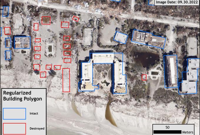
Our team is dedicated to the comprehensive collection, advanced analysis, interpretation, and efficient management of visual data capturing Earth’s surface. We develop algorithms that work across multimodal sensors and platforms using photogrammetry and remote sensing to discover changes to our world and provide critical insights that support both national and global security.

Geospatial AI
ORNL is developing AI foundation models that enable global mapping and characterization of geographic features, places, and activities. We’re exploring complex geospatial analytic workflows to deliver actionable insights for real-world applications in emergency management, disaster response, military precision, and more.
Critical Infrastructure Modeling
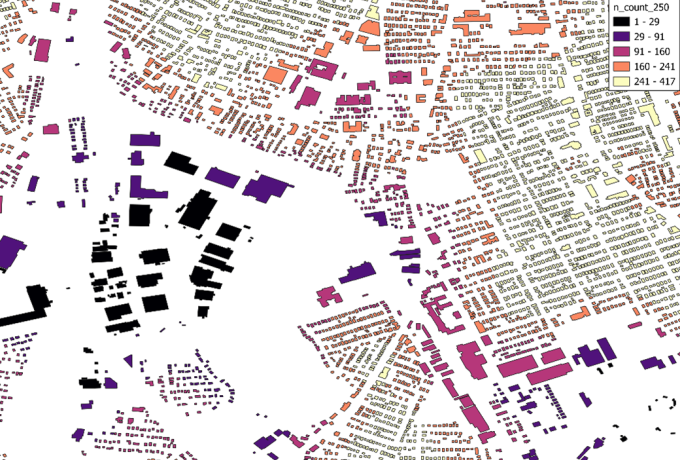
Critical infrastructure modeling teams use geospatial science innovations to forecast and enhance situational awareness about the risk of natural, built, and social systems to extreme events. We’re creating novel datasets that provide decision-makers with detailed insights on people, places, events and environments to protect US critical infrastructure and the people who rely on it.
Population Dynamics
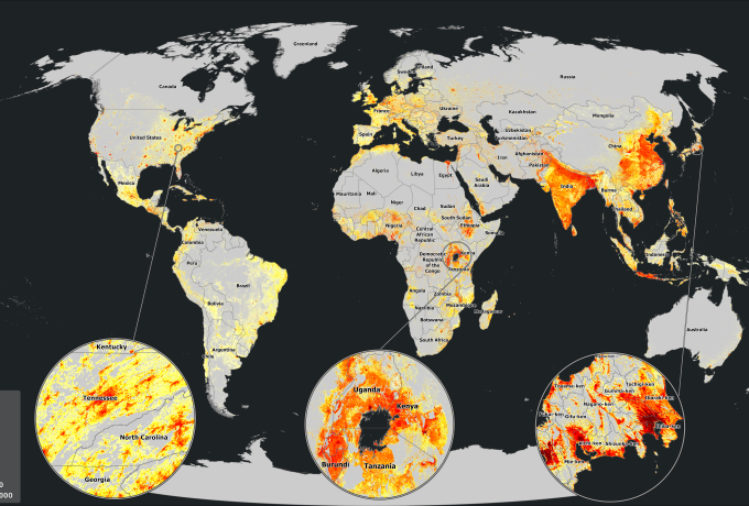
ORNL is a world leader in population dynamics, focusing on high-resolution global population datasets, characterization, and modeling. We’re delivering global-scale understanding of human populations and their environments to support precision military operations, disaster response, and community resilience.
Resilient Autonomous Systems
Autonomous and uncrewed systems are accelerating the way we acquire, exploit, understand and interact with our environment, especially on battlefields and in austere locations. Effective autonomous systems combine the world’s most advanced computational technologies to reach previously unreachable areas and provide insights into the world around us.
Stories of Impact

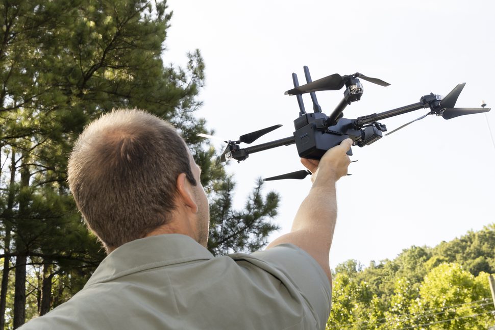
A new kind of first responder
Amid back-to-back disasters in late 2024, a specialized ORNL team was deployed across 3 states, conducted over 100 drone flights, collecting more than 400 gigabytes of geospatial data for both immediate recovery and future preparedness.

The future data economy
We helped DOE launch an experimental platform for energy sector-related data from various sources including federal, state, academia and private sector entities that provides information and visualizations on details such as energy usage, supply and availability.
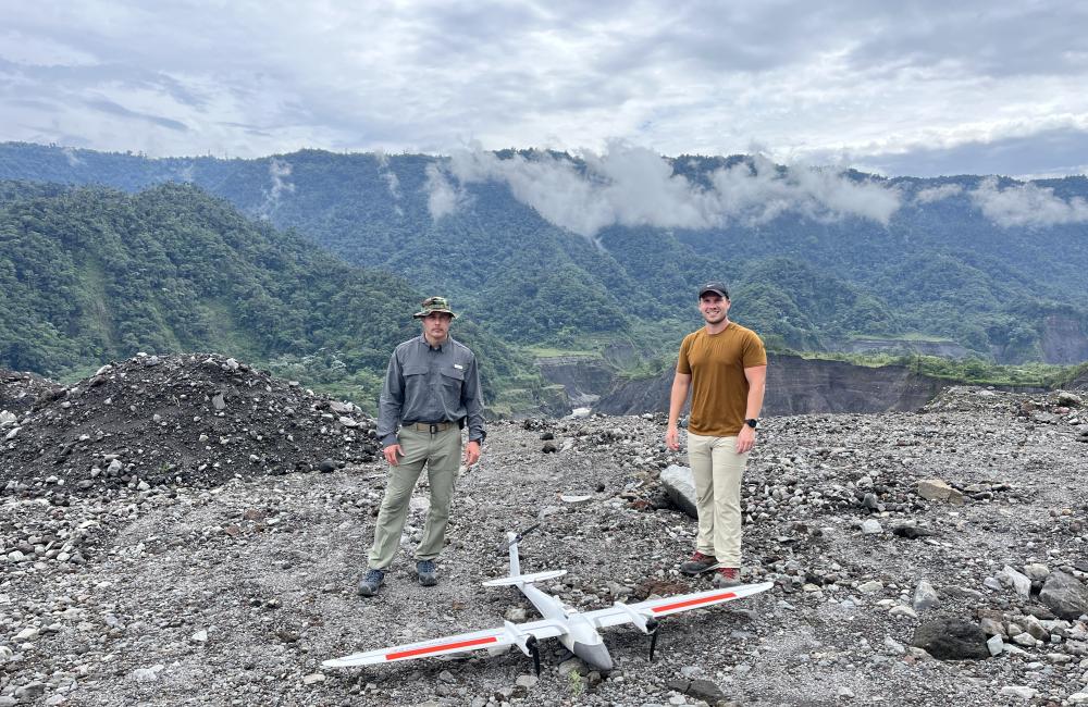
A waterfall lost, a river found
Our drone and geospatial team became the first to map the Coca River in the Amazon basin The team’s visual, thermal and multispectral imagery will be used to update Ecuador’s national maps and create better engineering models to mitigate erosion.
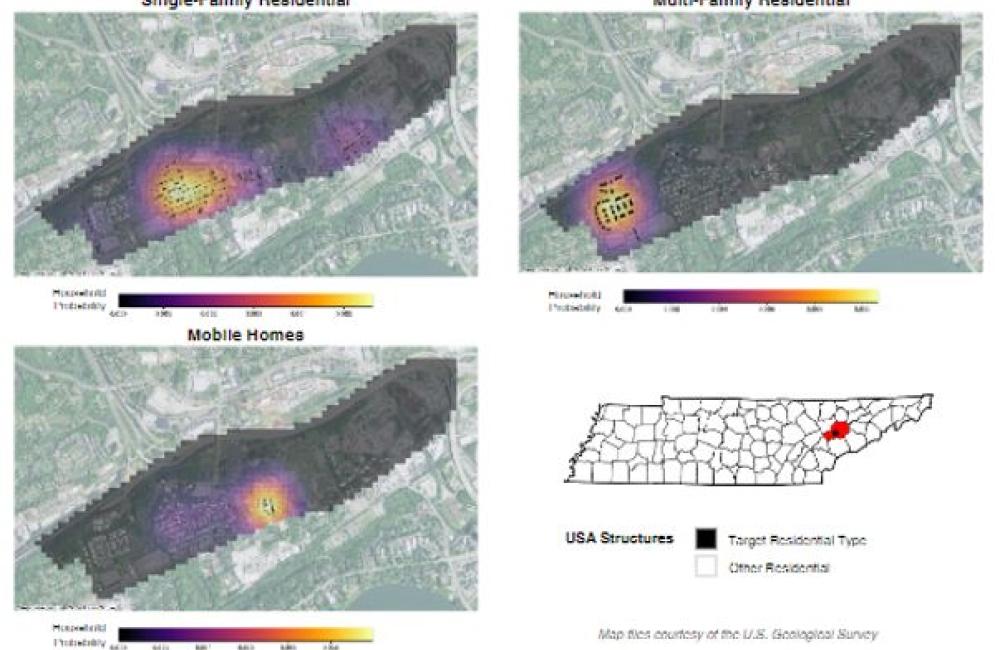
Synthetic populations
Human mobility researchers are providing information on access to essential services in communities by creating synthetic populations that mirror real neighborhoods and observing how transportation routes around the area impact residents’ quality of life.