
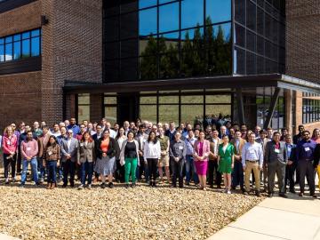
ORNL hosted its fourth Artificial Intelligence for Robust Engineering and Science, or AIRES, workshop from April 18-20. Over 100 attendees from government, academia and industry convened to identify research challenges and investment areas, carving the future of the discipline.
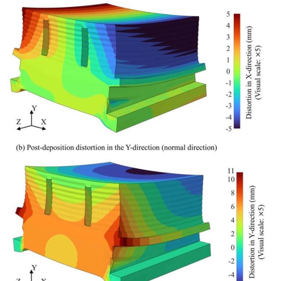
Dean Pierce of ORNL and a research team led by ORNL’s Alex Plotkowski were honored by DOE’s Vehicle Technologies Office for development of novel high-performance alloys that can withstand extreme environments.

Seven entrepreneurs will embark on a two-year fellowship as the seventh cohort of Innovation Crossroads kicks off this month at ORNL. Representing a range of transformative energy technologies, Cohort 7 is a diverse class of innovators with promising new companies.

Wildfires have shaped the environment for millennia, but they are increasing in frequency, range and intensity in response to a hotter climate. The phenomenon is being incorporated into high-resolution simulations of the Earth’s climate by scientists at the Department of Energy’s Oak Ridge National Laboratory, with a mission to better understand and predict environmental change.
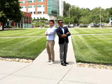
When geoinformatics engineering researchers at the Department of Energy’s Oak Ridge National Laboratory wanted to better understand changes in land areas and points of interest around the world, they turned to the locals — their data, at least.
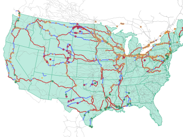
Oak Ridge National Laboratory researchers used images from a photo-sharing website to identify crude oil train routes across the nation to provide data that could help transportation planners better understand regional impacts.
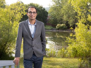
Growing up exploring the parklands of India where Rudyard Kipling drew inspiration for The Jungle Book left Saubhagya Rathore with a deep respect and curiosity about the natural world. He later turned that interest into a career in environmental science and engineering, and today he is working at ORNL to improve our understanding of watersheds for better climate prediction and resilience.
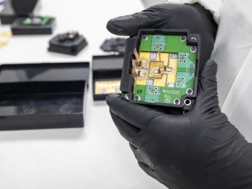
Researchers at the Department of Energy’s Oak Ridge National Laboratory are supporting the grid by improving its smallest building blocks: power modules that act as digital switches.
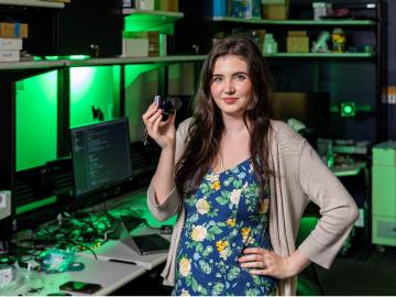
Tristen Mullins enjoys the hidden side of computers. As a signals processing engineer for ORNL, she tries to uncover information hidden in components used on the nation’s power grid — information that may be susceptible to cyberattacks.
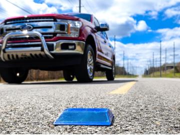
Working with Western Michigan University and other partners, ORNL engineers are placing low-powered sensors in the reflective raised pavement markers that are already used to help drivers identify lanes. Microchips inside the markers transmit information to passing cars about the road shape to help autonomous driving features function even when vehicle cameras or remote laser sensing, called LiDAR, are unreliable because of fog, snow, glare or other obstructions.