


Oak Ridge National Laboratory researchers have developed a machine learning model that could help predict the impact pandemics such as COVID-19 have on fuel demand in the United States.
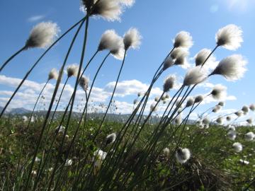
Oak Ridge National Laboratory scientists evaluating northern peatland responses to environmental change recorded extraordinary fine-root growth with increasing temperatures, indicating that this previously hidden belowground mechanism may play an important role in how carbon-rich peatlands respond to warming.
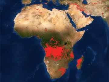
Researchers at Oak Ridge National Laboratory developed a method that uses machine learning to predict seasonal fire risk in Africa, where half of the world’s wildfire-related carbon emissions originate.
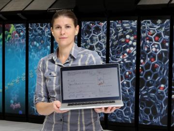
Ada Sedova’s journey to Oak Ridge National Laboratory has taken her on the path from pre-med studies in college to an accelerated graduate career in mathematics and biophysics and now to the intersection of computational science and biology
An international team of scientists found that rules governing plant growth hold true even at the edges of the world in the Arctic tundra.
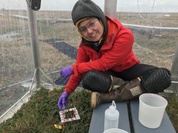
While some of her earth system modeling colleagues at ORNL face challenges such as processor allocation or debugging code, Verity Salmon prepares for mosquito swarms and the possibility of grizzly bears.

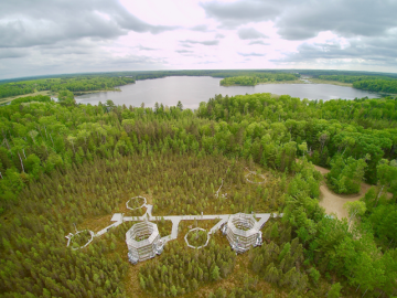
A novel approach developed by scientists at ORNL can scan massive datasets of large-scale satellite images to more accurately map infrastructure – such as buildings and roads – in hours versus days.

A typhoon strikes an island in the Pacific Ocean, downing power lines and cell towers. An earthquake hits a remote mountainous region, destroying structures and leaving no communication infrastructure behind.