ORNL’s Assaf Anyamba has spent his career using satellite images to determine where extreme weather may lead to vector-borne disease outbreaks. His work has helped the U.S.
ORNL’s Assaf Anyamba has spent his career using satellite images to determine where extreme weather may lead to vector-borne disease outbreaks. His work has helped the U.S.
ORNL took home the top honors in three categories at the second annual DOE Geospatial Science Poster competition, held on National GIS Day. For the second year in a row, DOE awarded ORNL top prize as Best Geospatial Program.
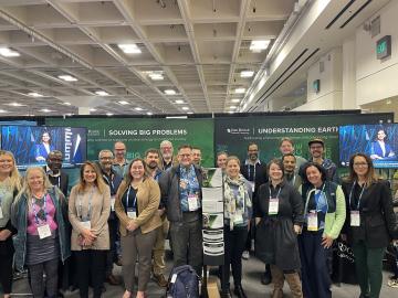
ORNL scientists and researchers attended the annual American Geophysical Union meeting and came away inspired for the year ahead in geospatial, earth and climate science.
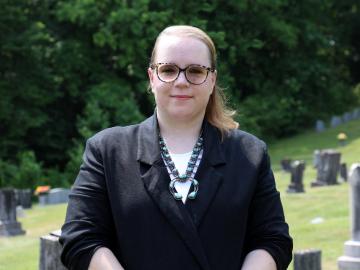
Jack Orebaugh, a forensic anthropology major at the University of Tennessee, Knoxville, has a big heart for families with missing loved ones.

Digital twins are exactly what they sound like: virtual models of physical reality that continuously update to reflect changes in the real world.

Scientists at ORNL used their knowledge of complex ecosystem processes, energy systems, human dynamics, computational science and Earth-scale modeling to inform the nation’s latest National Climate Assessment, which draws attention to vulnerabilities an
Walters is working with a team of geographers, linguists, economists, data scientists and software engineers to apply cultural knowledge and patterns to open-source data in an effort to document and report patterns of human movement through previously u
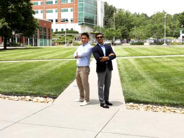
When geoinformatics engineering researchers at the Department of Energy’s Oak Ridge National Laboratory wanted to better understand changes in land areas and points of interest around the world, they turned to the locals — their data, at least.
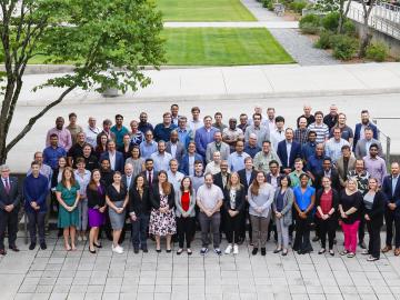
Experts across varied technology fields gathered ORNL to collaborate on the future of geospatial systems at the Trillion-Pixel GeoAI Challenge workshop.

Sreelekha Guggilam is a research associate for machine learning with the Geospatial Science and Human Geography group at ORNL. She recently shared how she uses data-driven information to assist with national security challenges.